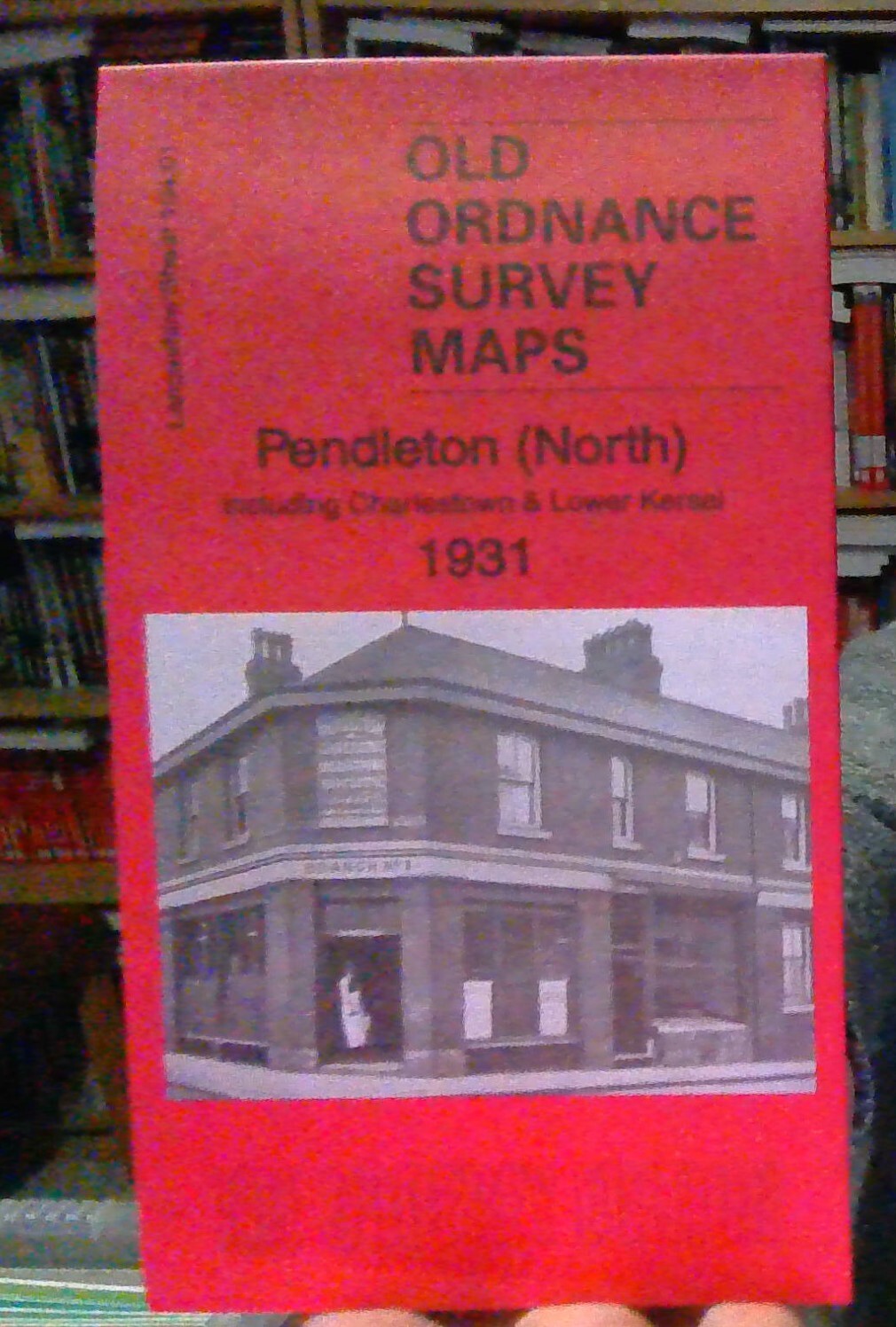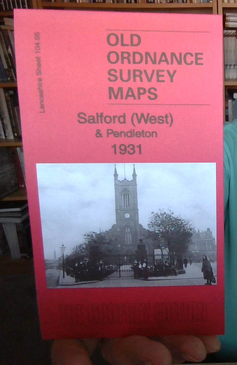
MAP OF Salford (West) & PENDLETON 1931 Lancashire Sheet 104.05 NEW
Lancs Sheet 104.05a Salford (West) 1889 - published 2012; intro by Chris Makepeace. ISBN.978-1-84784-613-6 Lancs Sheet 104.05b Salford (West) 1916 - published 2007; intro by Chris Makepeace. ISBN.978-1-84151-318-8 Lancs Sheet 104.05c Salford (West) & Pendleton 1931 - published 2015; intro by Alan Godfrey. ISBN.978-1-84784-886-4 We have published 3 versions of this detailed and busy map, showing how the area changed across the years. Each covers much of western Salford, with coverage stretching from Windsor Bridge westward to Weaste Lane, and from Liverpool Street northward to Pendleton station.\nThe many features show railways with Seedley station, Pendleton station, Pendleton (Broad St) station, Windsor Bridge cattle station; other features incl tramways, Hayfield Mills, cattle market, Christ Church, Wallness, St Barnabas church, Leaf Square, St Thomas church, Langworthy Park, Scotia Iron Foundry, St Luke's church, Victoria Mills, Seedley Bleach Works, Buile.
Compare prices (2 shops)
| shop | Price | Action |
|---|---|---|
|
|
3,70 GBP | Go to shop |
|
|
4,95 GBP | Go to shop |