
MAP OF MONK BRETTON & SMITHIES 1904: Yorkshire Sheet 274.04
This detailed map of Banbridge is double-sided for maximum coverage.\nThe main map covers the centre and west of the town. Features include Newry Street, most of Bridge Street, railway station, Edenderry Works, Workhouse, Downshire Arms Hotel, Court House, Brookfield and Weaving Factory, and countryside westward to Grove Hill and Ringsend.\nOn the reverse we include part of adjacent sheet 27.14, covering Holy Trinity church, St Patrick's RC church,weaving factories on the Bann, Church Square, Ballydown Bleach Works.
Compare prices (4 shops)
| shop | Price | Action |
|---|---|---|
|
|
3,45 GBP | Go to shop |
|
|
3,45 GBP | Go to shop |
|
|
3,75 GBP | Go to shop |
|
|
3,75 GBP | Go to shop |
Similar products
-

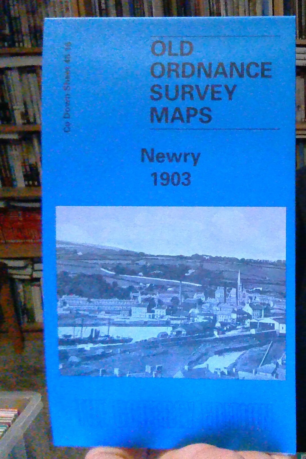
Newry 1903 County Down Sheet 46.16 by Alan Godfrey
From 3,75 EUR -
-

Larne 1903 County Antrim Sheet 40.04 by Alan Godfrey
From 3,75 EUR -

Ballymena 1903 County Antrim Sheet 32.16 by Alan Godfrey
From 3,75 EUR -

-
