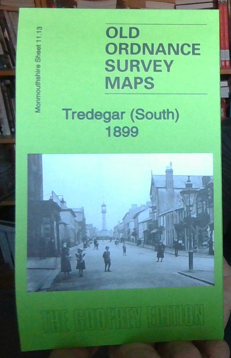
MAP OF Tredegar (South) 1899 Monmouthshire Sheet 11.13 NEW 9781847846259
Monmouthshire Sheet 11.13 Tredegar (South) 1899 - published 2012; intro by Derrick Pratt. ISBN.978-1-84784-625-9\nThis very detailed map covers the southern part of Tredegar, from Red Lion Square and Queen Square southward to Ty-trist Colliery and Pochin Crescent.\nFeatures include Whitworth Coal Pits, Whitworth Terrace, Bedwellty House, Ty-trist Colliery, George Town, Mount Pleasant, Water Works, Siloh Chapel, Bedwellty Union Workhouse, cemetery, Mountain Pit (disused), The Circle, Capel Saron, LNWR Sirhowy Branch with station and engine shed, coke ovens, railway sidings, Whitworth Coal Drift etc. We include extracts from a 1906 directory on the reverse.
Compare prices (2 shops)
| shop | Price | Action |
|---|---|---|
|
|
3,70 GBP | Go to shop |
|
|
3,70 GBP | Go to shop |


