
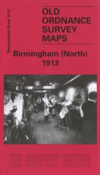
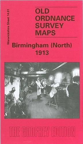
MAP OF Birmingham (North) 1913 Warwickshire Sheet 14.01 NEW 9780850549058
Here are the details of maps for Birmingham (North):\n\nWarwicks Sheet 14.01a Birmingham (North) 1902 - published 2013; intro by Mike Jee. ISBN.978-1-84784-711-9 Warwicks Sheet 14.01b Birmingham (North) 1913 - published 1997; intro by John Boynton. ISBN.978-0-85054-905-8 We have published two versions of this map, showing how the area developed across the years. Each covers the same area in detail, with coverage stretching from Barr Street and Great Hampton Street eastward to Bloomsbury Street, and from Tower Road southward to Great Brook Street. The map includes the Aston New Town area, much of Duddeston, and Gosta Green. It is a map crowded with terraces and back-to-back houses, along with many small iron works and the like.\nFeatures include the LNWR Aston Goods Branch with goods station and gas works, Birmingham & Fazeley Canal, Digbeth Branch canal, tramways and depot, Perryian Pen Works, vinegar brewery, Holt Brewery, Walmer Recreation Ground, Dunlop Rubber Works,.
Compare prices (2 shops)
| shop | Price | Action |
|---|---|---|
|
|
3,45 GBP | Go to shop |
|
|
3,45 GBP | Go to shop |
Similar products
-
Birmingham (North) 1913 : Warwickshire Sheet 14.01
From 3,75 EUR -
-

-

-

-
