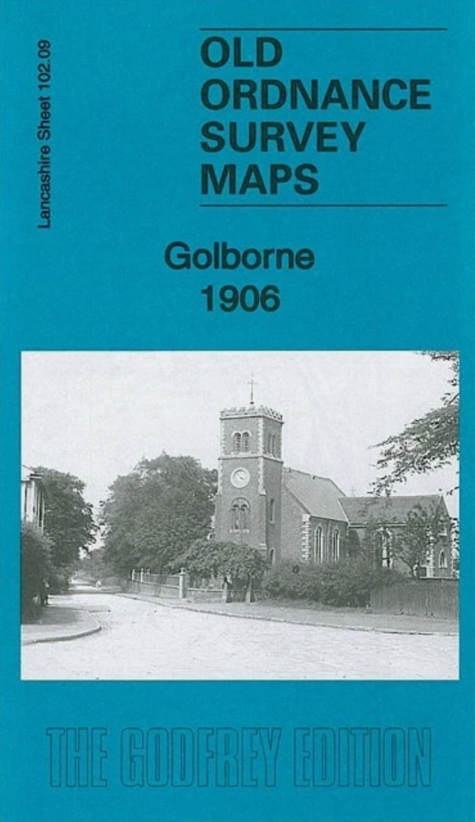
MAP OF Golborne 1906 Lancashire Sheet 102.09 by Alan Godfrey NEW 9781847847348
Here are the details of maps for Golborne:\n\nLancashire Sheet 102.09 Golborne 1906 - published 2013; intro by Alan Godfrey. ISBN.978-1-84784-734-8 This highly detailed map covers most of Golborne village and extends eastward to include part of Lowton.\nFeatures include the centre of Golborne, including LNWR railway with Golborne station, St Thomas church, Parkside Mills, Bank Heath House, Golborne Colliery with mineral line, All Saints RC church, Lawson's Farm, Town Farm, Golborne Bridge; part of Lowton including St Luke's church, Halfway House, Sovereign Confectionery Mills, Stirrups Farm, Shaw's Brow, Thorn Bush House, Merchants Square, small stretch of GCR St Helens Branch, Mather House Farm, Garton Common. We include a 1918 directory of Golborne on the reverse.\nThe map links up with sheets 102.05 Byrom Hall to the north, 101.12 Haydock Park to the west and 102.10 Lowton St Mary's to the east.
Compare prices (2 shops)
| shop | Price | Action |
|---|---|---|
|
|
3,49 GBP | Go to shop |
|
|
3,75 GBP | Go to shop |
Similar products
-

Abram 1906 Lancashire Sheet 102.01 by Alan Godfrey
From 3,75 EUR -

-

-

-

-
