
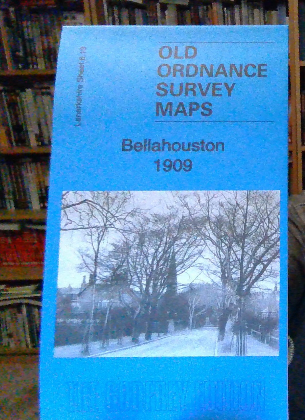
MAP OF Glasgow (Bellahouston) 1909 (Lanarkshire Sheet 6.13a) - NEW
Alan Godfrey Maps
Here are the details of maps for Bellahouston:\n\nLanarkshire Sheet 6.13a Bellahouston 1909 - published 1989, minor revision 2014; intro by Irene O'Brien. ISBN.978-1-84784-817-8 Lanarkshire Sheet 6.13b Glasgow (Bellahouston & Dumbreck) 1934 - published 2006; intro by Gilbert Bell. ISBN.978-1-84151-966-1 We have published two versions of this map, showing how the area developed across the years. The maps are detailed, showing individual houses, and such features as train and tram tracks. They cover the area around Bellahouston, with coverage stretching from Carsaig Drive and Bellahouston Drive eastward to Albert Drive, and from Edmiston Drive southward to Mosspark Drive. Apart from Bellahouston, Mosspark, Hazelwood, Craigton and Dumbreck are also covered. Features include Bellahouston Park with bandstand and tennis courts etc, White City Sports Ground, part of Albion Greyhound race course, railways including Ibrox and Bellahouston stations, tramways. The western part of .
Compare prices (2 shops)
| shop | Price | Action |
|---|---|---|

|
2,50 GBP | Go to shop |

|
3,45 GBP | Go to shop |
Similar products
-

Dyad 1909
From 11,75 EUR -

Homicide 1909: 13
From 20,99 EUR -

Pollok Park 1909
From 3,50 EUR -

Astrological Essays (1909)
From 20,95 EUR -
Spacetime 1909-2019
From 16,17 EUR -
Past and Present (1909)
From 16,50 EUR