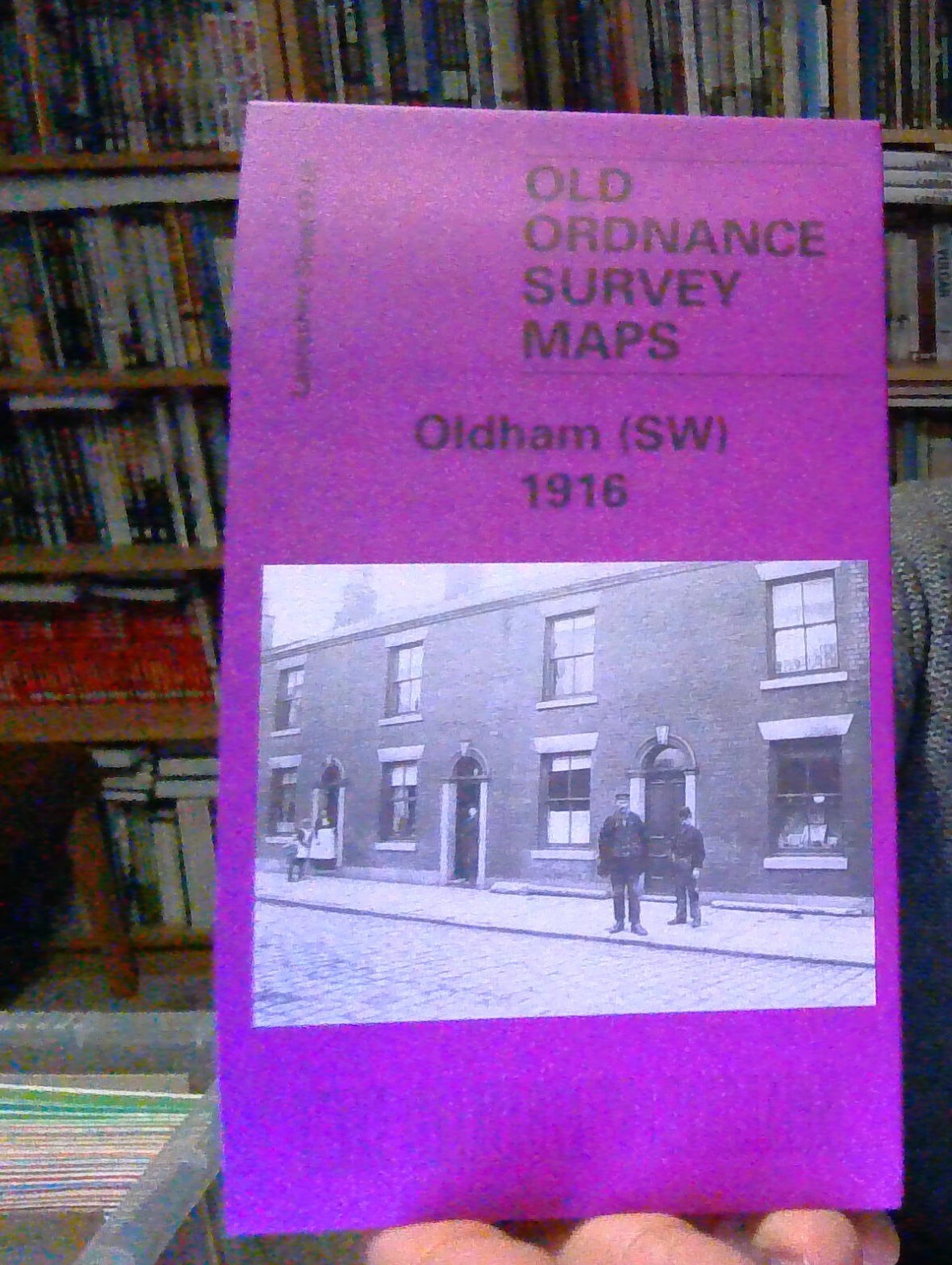
MAP OF Oldham 1916 Lancashire Sheet 97.06 NEW 9781787214996
Alan Godfrey Maps
Sheet 97.06a Oldham 1891 - published 2014; intro by Alan Godfrey. ISBN.978-1-84784-845-1 Sheet 97.06b Oldham 1907 - published 1999; intro by Alan Godfrey. ISBN.978-1-84151-068-2Sheet 97.06c Oldham 1916 - published 2022; intro by Alan Godfrey. ISBN.978-1-78721-499-6We have published three versions of this map, showing how the area changed over the years. The 1891 version is fully coloured, taken from the beautiful 1st Edition OS handcoloured map.\nThe maps cover the heart of Oldham, with coverage stretching from Westbourne Street eastward to Bleasby Street, and from Cromwell Street northward to Samson Street. The many features include railway with Mumps station, St Mary's church, Market Ground, Market Hall, Coldhurst Hollow, Bank Top, Cold Hurst, Sarah Moor, Oldham Edge, Moorhey, Townfield, Greenacres Moor, St James Mill, Soho Iron Works, Castle Iron Works, tramways, Hartford Old Works, Derker Old Mill, Albany Mills, Granville Mill, Greenbank Mills, Commercial Mills, tramwac
Compare prices (2 shops)
| shop | Price | Action |
|---|---|---|
|
|
3,70 GBP | Go to shop |
|
|
4,50 GBP | Go to shop |