
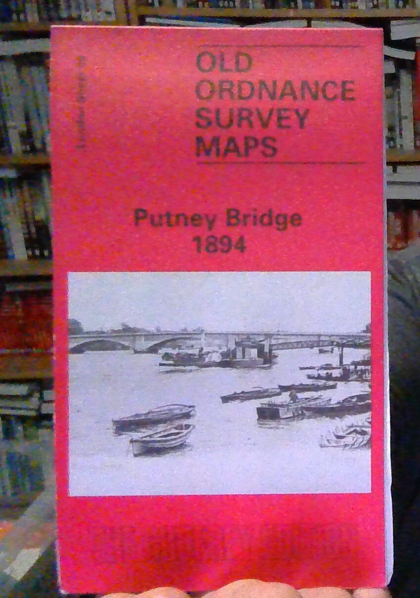
MAP OF Putney & NW Wandsworth 1894: London Sheet 113.2, Taylor, Pamela NEW
Here are the details of maps for Putney:\n\nLondon Sheet 113.1 Putney 1866 - published 1992; intro by Keith Bailey. ISBN.978-1-84151-669-1 London Sheet 113.2 Putney & NW Wandsworth 1894 - published 2015; intro by Pamela Taylor. ISBN.978-1-84784-915-1 London Sheet 113.3 Putney 1913 - published 2004; intro by Dorian Gerhold. ISBN.978-0-85054-541-8 We have published three versions of this map, showing how the area developed across the years. The maps each cover the same area, stretching from Larpent Avenue and Colinette Road eastward to Budlow Road and Broomhill Road in Wandsworth; and from Cardinal Place and the High Street southward to Melrose Road and Seymour Road. They therefore cover much of central Putney, including Putney station, and the area south and east, to include the West Hill area, and also part of Wandsworth High St. The earlier map is dominated by villas in leafy gardens, but on the later maps there are of course many more streets. Other features incl.
Compare prices (1 shop)
| shop | Price | Action |
|---|---|---|
|
|
3,45 GBP | Go to shop |
Similar products
-
-

Morden 1894 Surrey Sheet 13.03 by Pamela Taylor
From 3,75 EUR -

-

-

-
