
City of York 1889: Yorkshire Sheet 174.06A
Alan Godfrey Maps
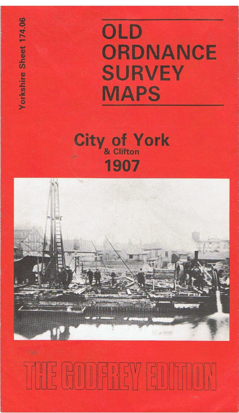
Yorks Sheet 174.06a City of York 1889 - published 2015; intro by Alan Godfrey. ISBN.978-1-84784-918-2 Yorks Sheet 174.06b City of York & Clifton 1907 - published 1987; intro by Alan Godfrey. ISBN.978-0-85054-144-1 We have published two versions of this important map, showing how the area changed across the years. The 1890 version is in full colour, taken from the beautiful 1st edition OS handcoloured map.\nThis very busy map captures the heart of York in splendid detail. Most of the city centre is covered, with coverage stretching from Ouse Bridge and Foss Bridge northward to Haxby Road and Fountayne Street; and from Monkgate westward to Clifton and to Garnet Terrace. Features include the great Cathedral, Lendal Bridge, Museum Street, Micklegate, Parliament Street, Theatre Royal, St Cuthbert's church, Deanery, City Wall, Workhouse (right margin), Diocesan Training College, Bootham Park Asylum, St Peter's School, Clifton. York's narrow streets are shown in detail, .
Compare prices (2 shops)
| shop | Price | Action |
|---|---|---|
|
|
3,50 GBP | Go to shop |
|
|
4,95 GBP | Go to shop |
Similar products
-

-

-

York (South) 1889 (Coloured) Yorkshire Sheet 174.10a
From 5,00 EUR -
-

-
