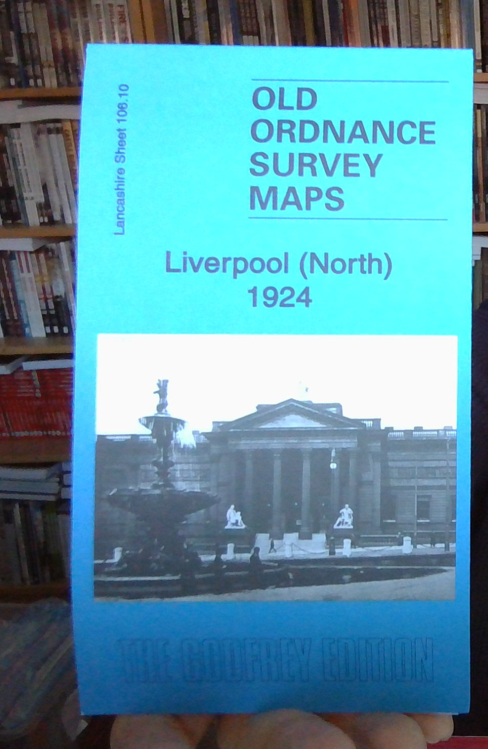
MAP OF Liverpool (North) 1924 Lancashire Sheet 106.10 NEW 9781787216464
Here are the details of maps for Liverpool (North):\n\nLancs Sheet 106.10a Liverpool (North) 1890 - published 2015; intro by Kay Parrott. ISBN.978-1-84784-923-6 Lancs Sheet 106.10b Liverpool (North) 1906 - published 1990; intro by Naomi Evetts. ISBN.978-0-85054-295-0 Lancs Sheet 106.10c Liverpool (North) 1924 - published 2023; intro by Alan Godfrey. ISBN.978-1-78721-646-4 We have published three versions of this map, showing how the area changed across the years. The 1890 version is in colour, taken from the beautiful 1st Edition OS handcoloured map.\nThe maps are double-sided to provide maximum coverage. The main map, 106.10, covers a major northern part of the city, with coverage stretching from King Edward Street eastward to Everton Road, and from Conway Street southward to William Brown Street.\nThese are very busy maps. Features include Walker Art Gallery, Library & Museum, Tobacco Manufactory, Wholesale Fruit Market, Victoria Square, St Anthony's RC chu.
Compare prices (1 shop)
| shop | Price | Action |
|---|---|---|
|
|
3,45 GBP | Go to shop |