
MAP OF Coleraine (South) 1904: County Londonderry Sheet 7.07 NEW
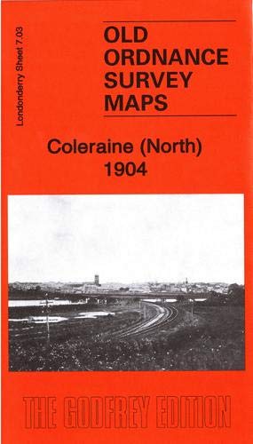
Explore the historical landscape of Coleraine with the detailed map from 1904, presented in a convenient sheet format. Published by Alan Godfrey Maps, this authoritative piece offers a rich portrayal of County Londonderry Sheet 7.07, bringing local history to life with its accurate detailing and clear language.\n\nJohn Llewelyn's work is a valuable resource for enthusiasts of the past and collectors alike. The map, printed in 2015, is an updated facsimile of the original, allowing for a journey back in time to the turn of the twentieth century. Perfect for historians and lovers of Ireland's storied heritage.\nHere are the details of maps for Coleraine:\nCo Londonderry Sheet 7.03 Coleraine (North) 1904 - published 2019; intro by John Llewelyn. ISBN.978-1-78721-257-2 Co Londonderry Sheet 7.07 Coleraine (South) 1904 - published 2015; intro by John Llewelyn. ISBN.978-1-84784-931-1 We have published two maps for Coleraine.\nThe northern map covers the northern outskirts of the t.
Compare prices (1 shop)
| shop | Price | Action |
|---|---|---|
|
|
4,50 GBP | Go to shop |
Similar products
-

-
-
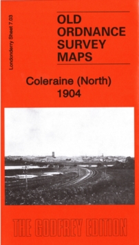
Coleraine (North) 1904 : Londonderry Sheet 7.03
From 3,75 EUR -

-

-

Limavady 1904 County Londonderry Town plans 1-6
From 3,75 EUR