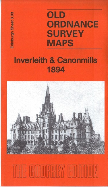
Inverleith & Cannonmills 1896 Edinburgh Sheet 3.03 by Barbara Morris
This detailed map covers western Leith around Inverleith, with coverage stretching from Fettes College eastward to East Claremont Street, and from Granton Road station southward to Raeburn Place.\nFeatures include Royal Botanic Gardens, Inverleith House, Fettes College, Malcolm House, Comeley Bank area, Academy and Grange cricket grounds, St James church, Heriot Hill area, Canonmills area, Tanfield area, Beaverbank area, St Marks church, Powderhall Grounds, Edinburgh Cemetery, Chancelot Flour Mills, Silvermills area, NBR lines with Warriston Junction, Warriston Park, tramways etc. On the reverse we include a selection of street directory entries, incl Brandon Terrace, Eyre Crescent, Golden Acre Terrace, Henderson Row, Howard Place, Inverleith Avenue/Place/Row/Terrace, Royal Crescent, Scotland Street, Warriston Crescent, Cumberland Street.
Compare prices (1 shop)
| shop | Price | Action |
|---|---|---|
|
|
3,75 GBP | Go to shop |
Similar products
-

-

-

Corstorphine 1893 Edinburgh Sheet 3.09 by Barbara Morris
From 3,75 EUR -

Leith Walk 1912 Edinburgh Sheet 3.04b by Barbara Morris
From 3,75 EUR -

-