An Archaeological Map of Hadrian's Wall - 9781848022638
Historic England
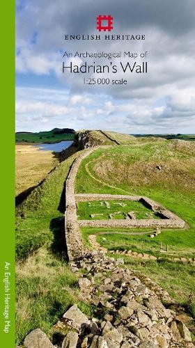
An Archaeological Map of Hadrian's Wall1:25000 Scale Revised Edition\nFormat: Paperback\nPublisher: Historic England, United Kingdom\nImprint: Historic England\nISBN-13: 9781848022638, 978-1848022638\nSynopsis\nPlease note: This product is a map. It was more than just a wall: it was a whole military zone designed to control movement across the northern frontier of the Roman province of Britannia. Great earthwork barriers survive, along with the remains of forts and temporary camps; watch-towers and fortified gates; civilian settlements, temples, cemeteries, bath-houses, roads and bridges. Stretching across the spine of England from the North-East coast to the Irish Sea, the line of the frontier extends for over 100 miles through every type of landscape: from the streets of urban Tyneside, through arable fields; along the crags of the wild Whin Sill; to the sands of the Solway, and down the coast of Cumbria. Drawing upon the extensive expertise and unrivalled archives of English Heri.
Compare prices (4 shops)
| shop | Price | Action |
|---|---|---|
|
|
11,99 GBP | Go to shop |
|
|
13,67 GBP | Go to shop |
|
|
14,75 GBP | Go to shop |
|
|
16,38 GBP | Go to shop |