

Loch Lomond & The Trossachs Outdoor Atlas -
HARVEY Maps
Mapping of the whole of Scotland's first National Park in one handy book. When you get to the edge of the map, just turn the page!Spiral bound to lie flat in the hand. Waterproof for outdoor use. Though not tearproof, the atlas pages are printed on latex impregnated paper, making them waterproof. If your Outdoor Atlas gets wet, just hang it up to drip-dry!The detailed mapping at scale 1:40,000 is suitable for walkers and cyclists and other outdoor enthusiasts, and is a useful reference for residents and visitors. The book is a handy size (14x24cm) for carrying in a mapcase, map pocket or bike map holder.•96 pages•Includes the National Grid•Can be used with GPS
Compare prices (5 shops)
| shop | Price | Action |
|---|---|---|

|
9,95 GBP | Go to shop |
|
|
9,95 GBP | Go to shop |
|
|
9,95 GBP | Go to shop |

|
12,74 GBP | Go to shop |
|
|
14,59 GBP | Go to shop |
Similar products
-

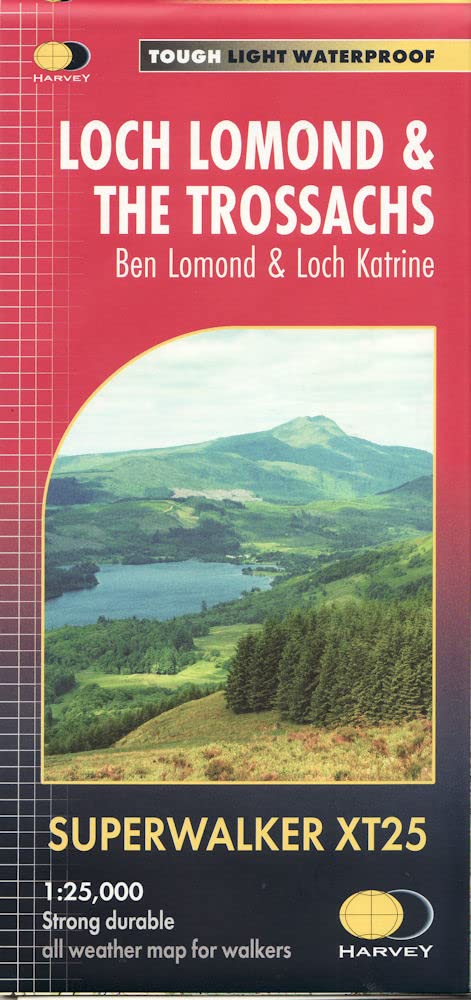
Loch Lomond & the Trossachs Ultramap -
From 11,95 EUR -
-

Stirling, Loch Lomond & Trossachs Mini Calendar 2026
From 3,49 EUR -
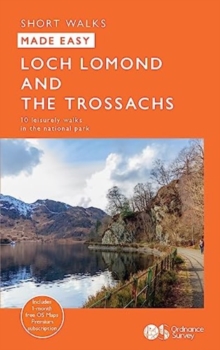
Loch Lomond and the Trossachs : 10 Leisurely Walks
From 6,89 EUR -

-
