
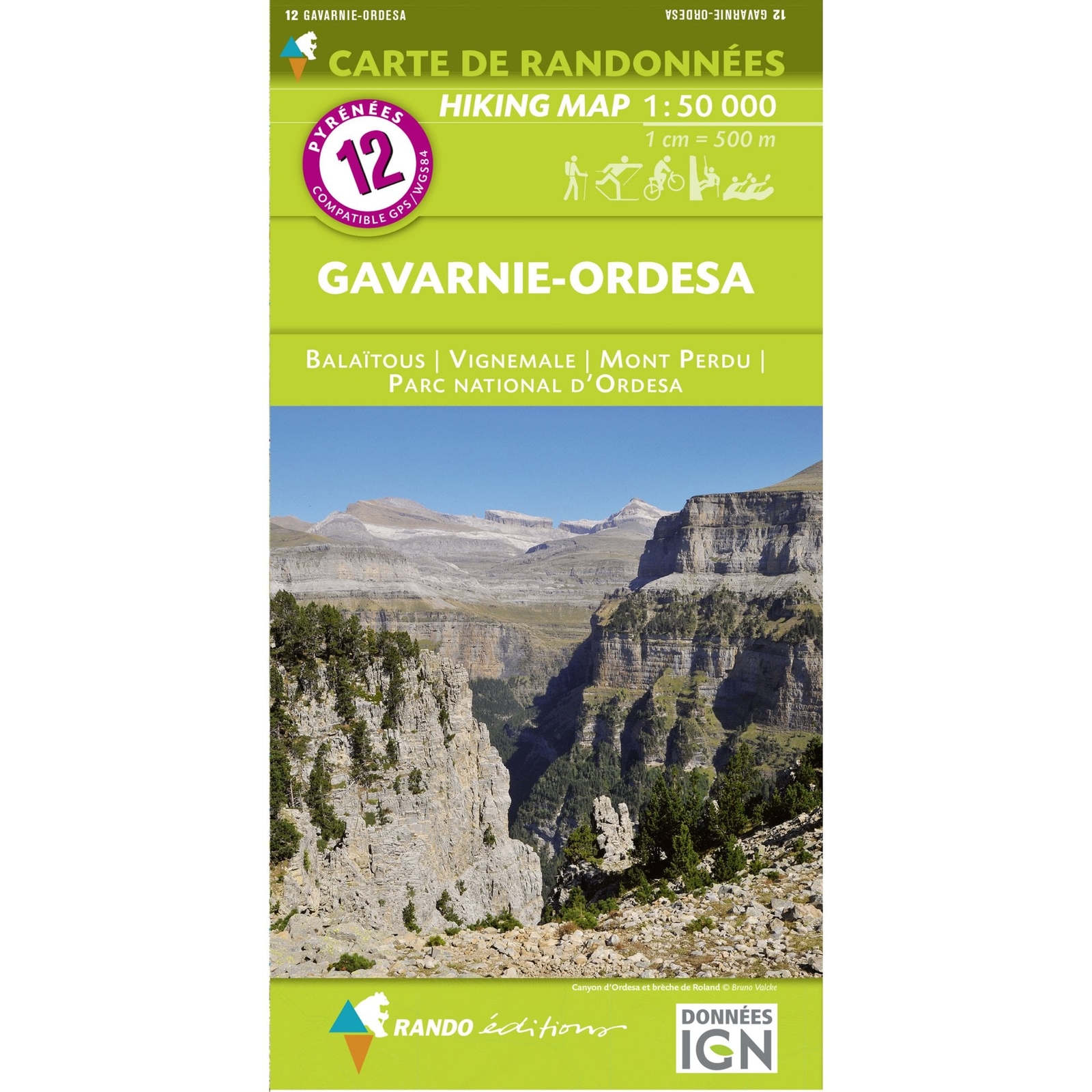
Pyrenees Map: 07 Haute Ariege Rando Editions France walking hiking
Rando Editions
eBay Store Design by Visualsoft\n\nPyrenees Map: 07 Haute Ariege Rando Editions France walking hiking\n\n--\n\u00A314.99\n\n--|\n\nFrom the Rando Editions Series of hiking maps covering the whole of the Pyrenees. This map includes part of Andorra\n\nAsk a Question\n\nDescription\n\nCovering from Col de la Crouzette, Cazals, Montgaillard, Lavelanet and Belesta to Estany de Certascan, Pica d'Estats, Pic del Port Negre, Pic de la Cabaneta and Lac des Bouillouses (La Bollosa) this Randonnees Pyrenees map of Haute Ariege is one of a series of topographical maps, using an IGN base map, covering the French border with Spain, right through to the Mediterranean. It is ideal for walking, skiing, cycling and horse-riding. Easy to use and includes relief shading and contour lines.\n\n--\n--\n--\n\neBay Store Design by Visualsoft
Compare prices (1 shop)
| shop | Price | Action |
|---|---|---|
|
|
14,99 GBP | Go to shop |
Similar products
-
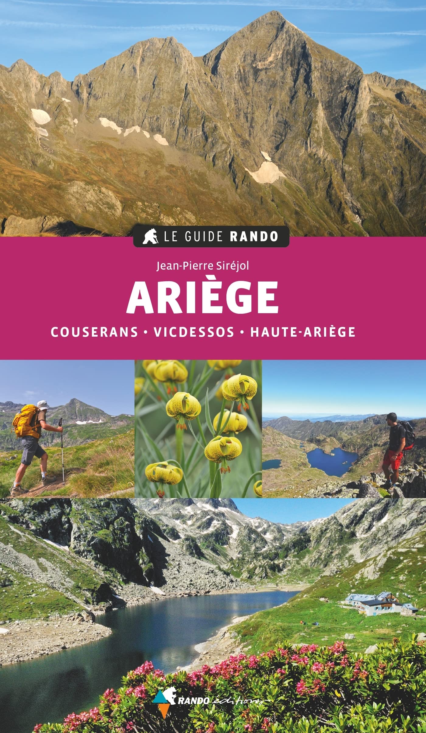
Ariège Couserans - Vicdessos - Haute Ariège (Le guide rando)
From 14,84 EUR -

-

Pyrenees Map: 05 Luchon Rando Editions France walking hiking
From 14,99 EUR -

-
-
