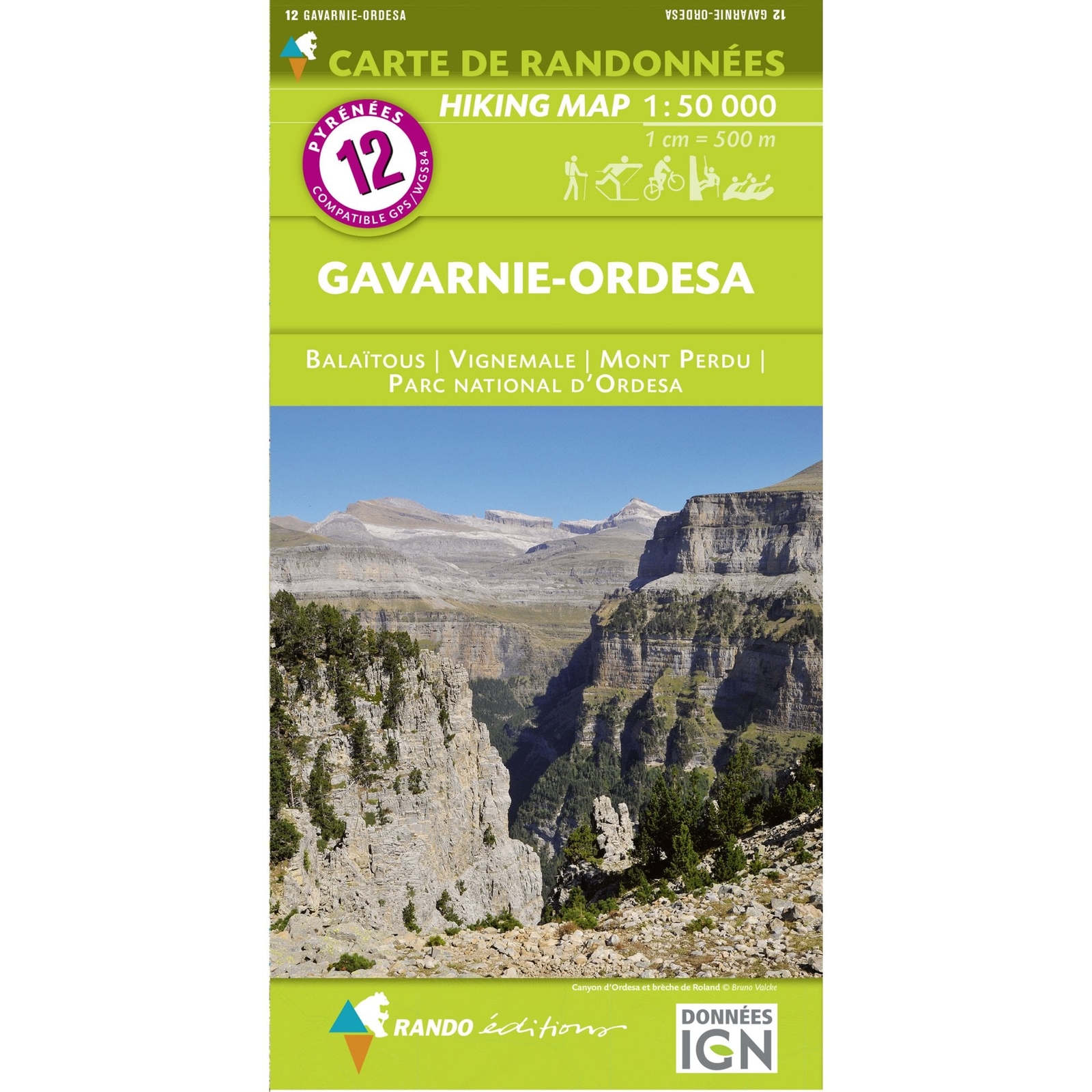
Pyrenees Map: 09 Le Sentier Cathare Rando Editions France walking hiking
Rando Editions
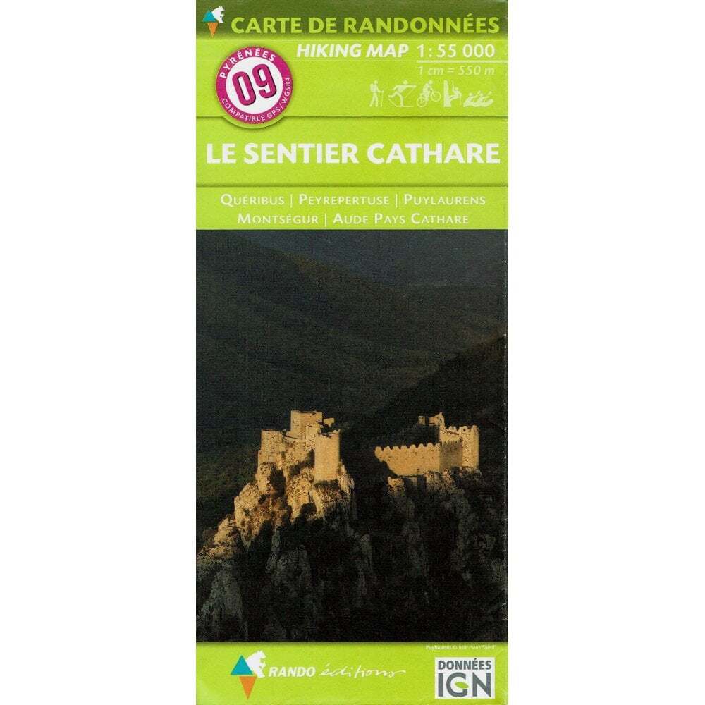
eBay Store Design by Visualsoft\n\nPyrenees Map: 09 Le Sentier Cathare Rando Editions France walking hiking\n\n--\n\u00A314.99\n\n--|\n\nAsk a Question\n\nDescription\n\nThe western half of this map shows the area from Foix east to Laroque-d''Olmes and Valminger and from Tarascon-sur Ariege east to Luzenac and Caudes-de-Fenouilledes. The eastern half of the map shows the area from Veraza, Vignevielle, Villeseque-des-Corbieres and Port-la-Nouvelle south to Puilaurens, St-Paul-de-Fenouillett and le Barcares. It is ideal for walking, skiing, cycling and horse-riding, easy to use and include relief shading and contour lines.\n\n--\n--\n--\n\neBay Store Design by Visualsoft
Compare prices (1 shop)
| shop | Price | Action |
|---|---|---|
|
|
14,99 GBP | Go to shop |