
Vanoise Tarentaise Maurienne Hiking / Walking Map A3 alps France cycling skiing
Rando Editions
eBay Store Design by Visualsoft\n\nVanoise Tarentaise Maurienne Hiking / Walking Map A3 alps France cycling skiing\n\n--\n\u00A314.99\n\n--|\n\nThis map covers the majority of Parc National de la Vanoise in the French Alps and along the French-Italian Border. The park itself lies to the North of Modane and Susa and also includes the towns of Valloire, Valmeinier, Termignon, Saint-Michel-de-Maurienne, Les Menuires, Courcheel, Meribel, Moutiers, Bozel, La Plagne, Bessans, Bonneval-sur-Arc and Val d'Isere.\n\nGR5 and GR55 are clearly marked as they cross the area covered.\n\nThe map is in both French and English.\n\n \n\nAsk a Question\n\nDescription\n\nThe Vanoise hiking map includes the location of refuges, gites, Rando'Plume, camping sites, bivouac areas, as well as tourism information (views, sites), cultural (museums, etc..) Sports (equestrian center, mountain biking, gliding, climbing, canyoning, rafting).\n\n Hiking maps covering the French Alps. They are ideal ft
Compare prices (1 shop)
| shop | Price | Action |
|---|---|---|
|
|
14,99 GBP | Go to shop |
Similar products
-

-

-

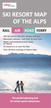
Ski Resort Map of the Alps
From 10,40 EUR -
Ski Resort Map of the Alps
From 10,15 EUR -

-
