
Spain map 1037-II: Teba hiking, walking topographic 1:25K
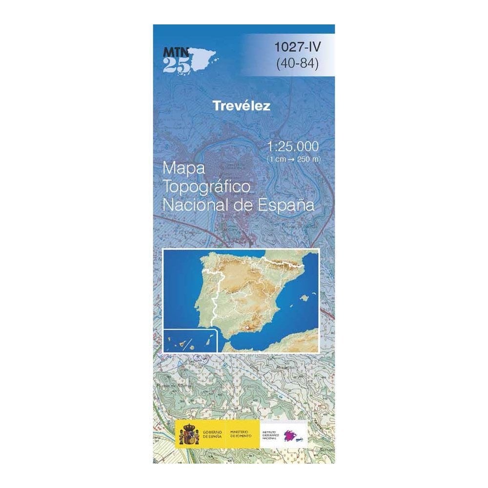
eBay Store Design by Visualsoft\n\nSpain map 1037-II: Teba hiking, walking topographic 1:25K\n\n--\n\u00A34.50\n\n--|\n\nCNIG 1:25,000 scale topographic map number 1037-II covering Teba, Spain. This is a very rural area which includes Teba and Herta de la Cueva, part of Embalse del Guadalteba and Sierra de Penarrubia, Sierra de las Utreras, Sierra de Malandrejo and Sierra de Canete.\n\nAsk a Question\n\nDescription\n\nAbout the map series\n\nThe MTN25 (Mapa Topogr\u00E1fico Nacional) series from CNIG (The Centro Nacional de Informaci\u00F3n Geografica) provide topographic coverage of mainland Spain at 1:25,000 \u2013 the Spanish equivalent of the Ordnance Survey Explorer series.\n\nEach map covers approximately 14x9 km. The maps have a 1-km UTM grid, plus margin ticks for latitude and longitude at 1' intervals. The map legend is in Spanish only.\n\n--\n--\n--\n\neBay Store Design by Visualsoft
Compare prices (1 shop)
| shop | Price | Action |
|---|---|---|
|
|
4,50 GBP | Go to shop |
Similar products
-

-
-

-

Spain map 1014-IV: Vera hiking walking topographic 1:25K
From 4,50 EUR -

-
