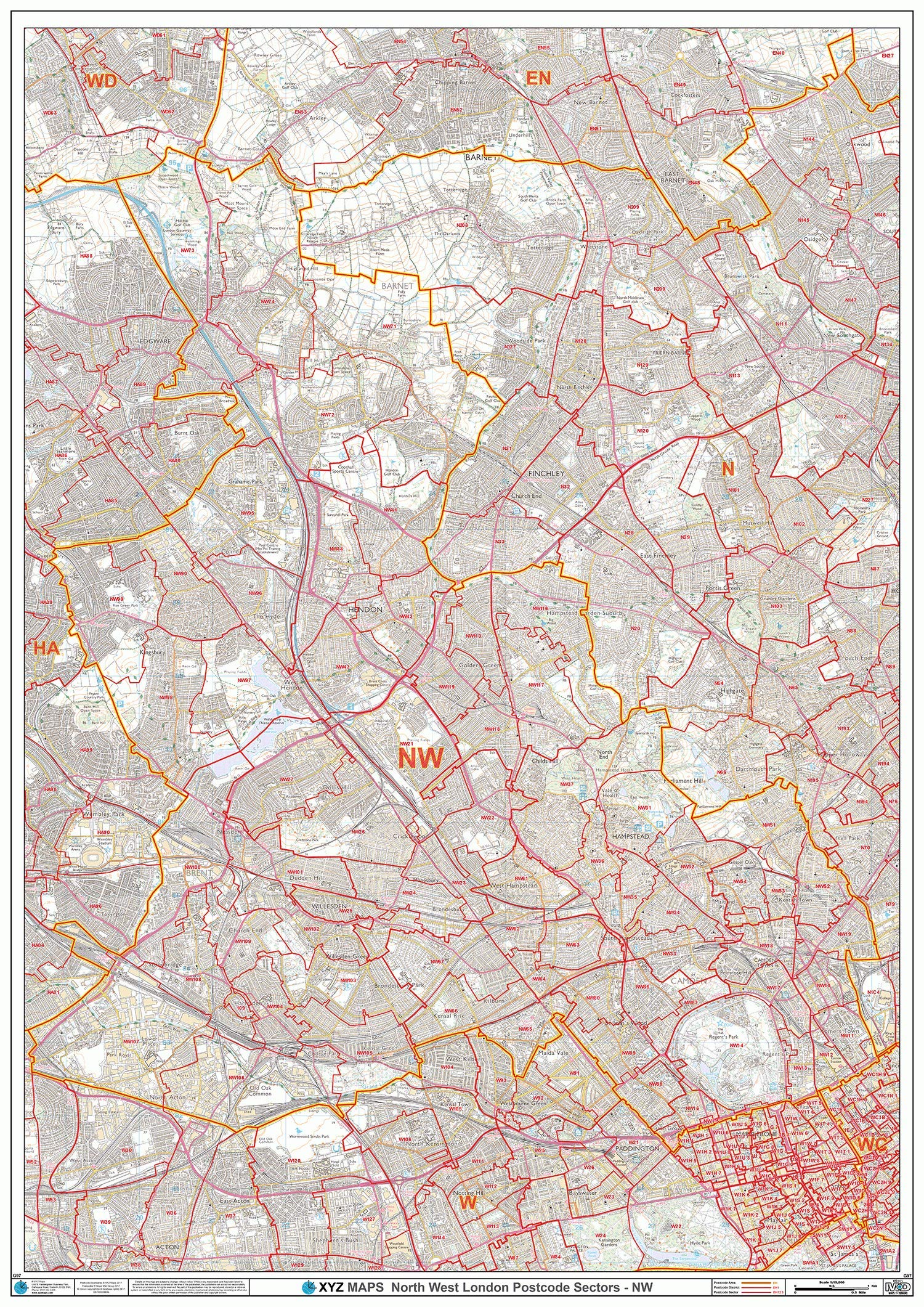
North West London - NW - Postcode Wall Map - Paper
XYZ Maps
A High Quality Postcode Sector Wall Map. Showing the Entire NW Postcode Area, with Precise Boundaries and Clear Postcode Labels on a Detailed Map Background. A0 Size - 1189mm x 841mm Art quality 120 gsm paper
Compare prices (1 shop)
| shop | Price | Action |
|---|---|---|
|
|
29,99 GBP | Go to shop |
Similar products
-
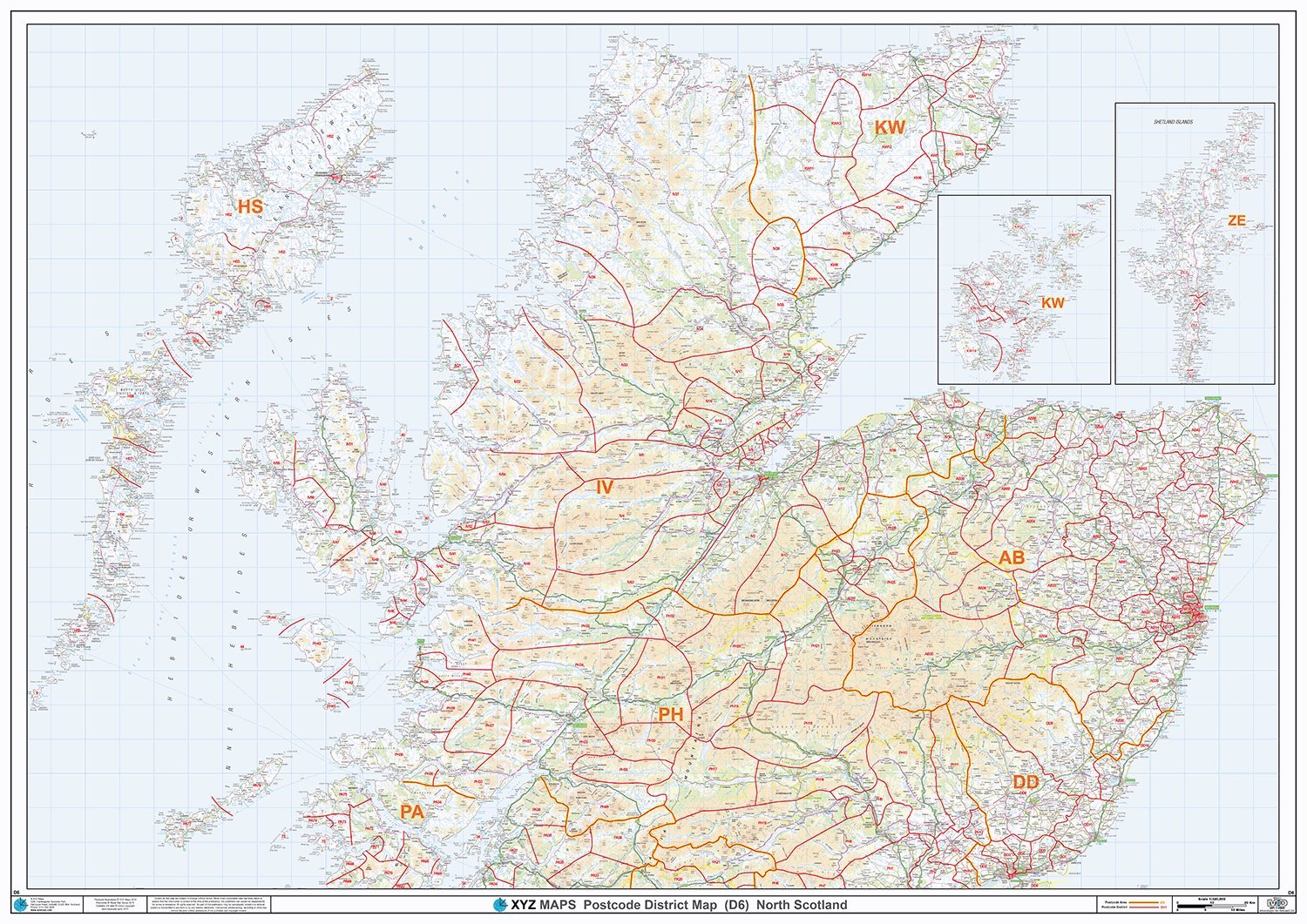
North Scotland - Postcode District Wall Map-Paper
From 29,99 EUR -
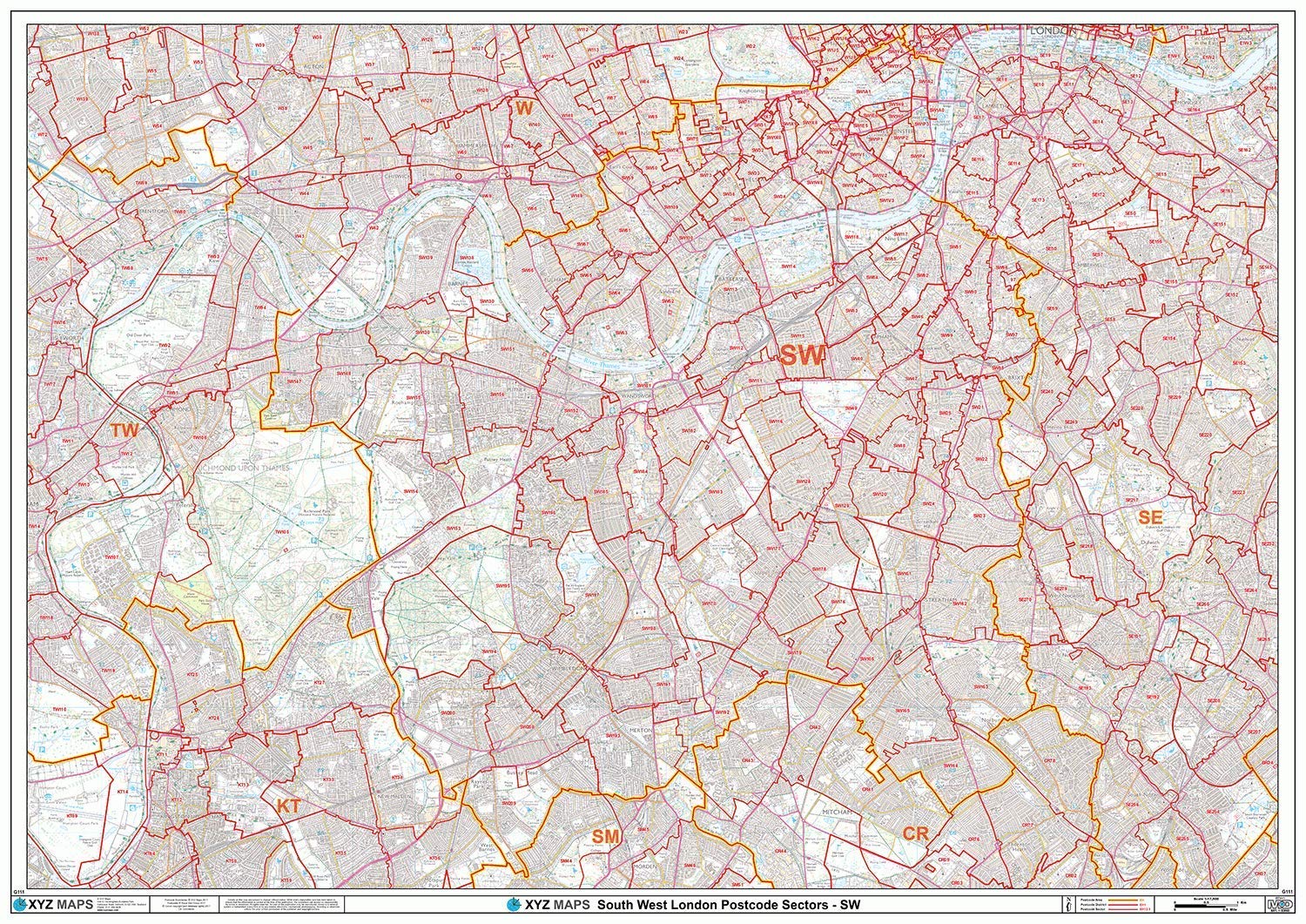
South West London - SW - Postcode Wall Map - Paper
From 29,99 EUR -
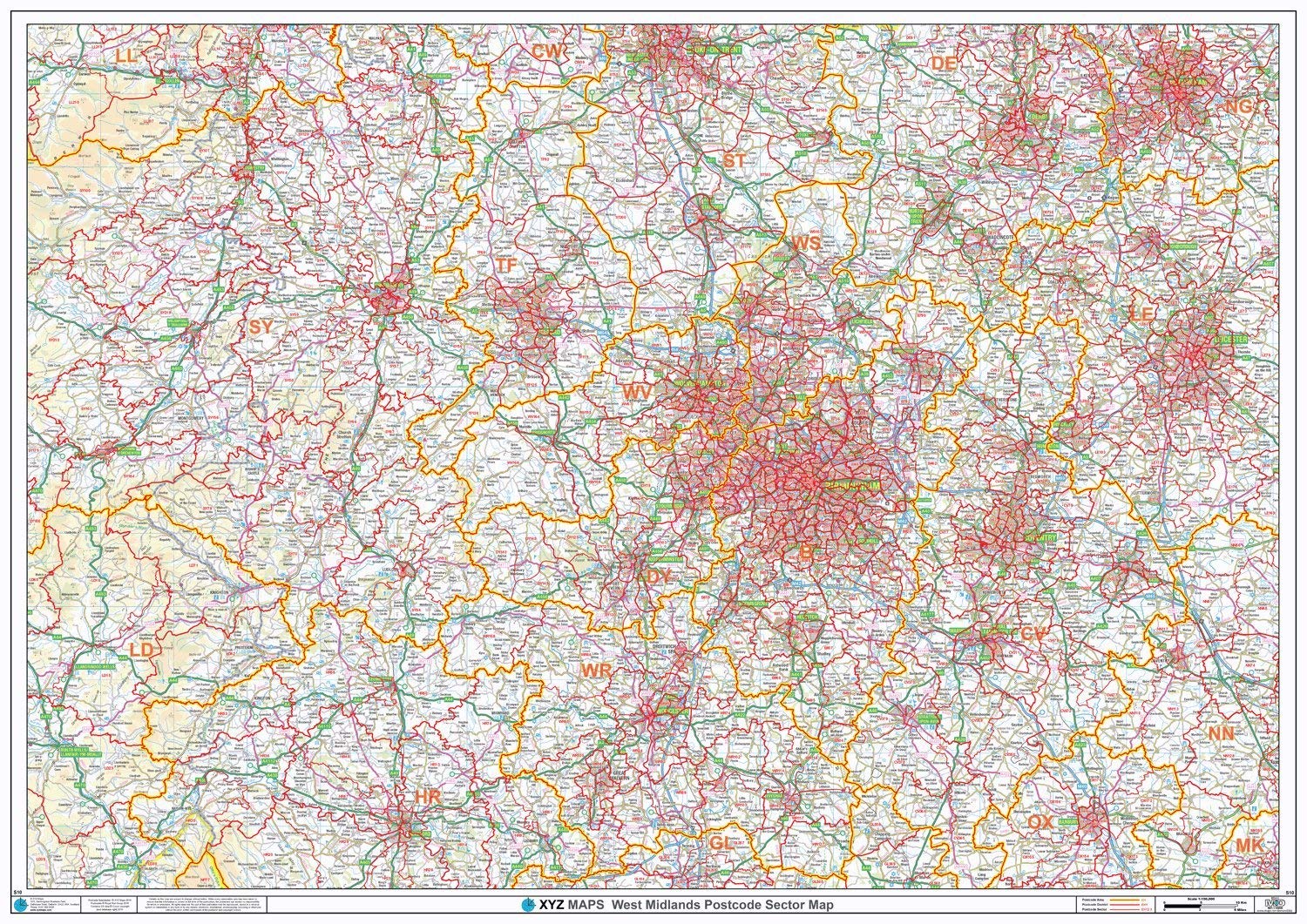
Postcode Sector Map - (S10) - West Midlands - Wall Map-Paper
From 29,99 EUR -

-
-
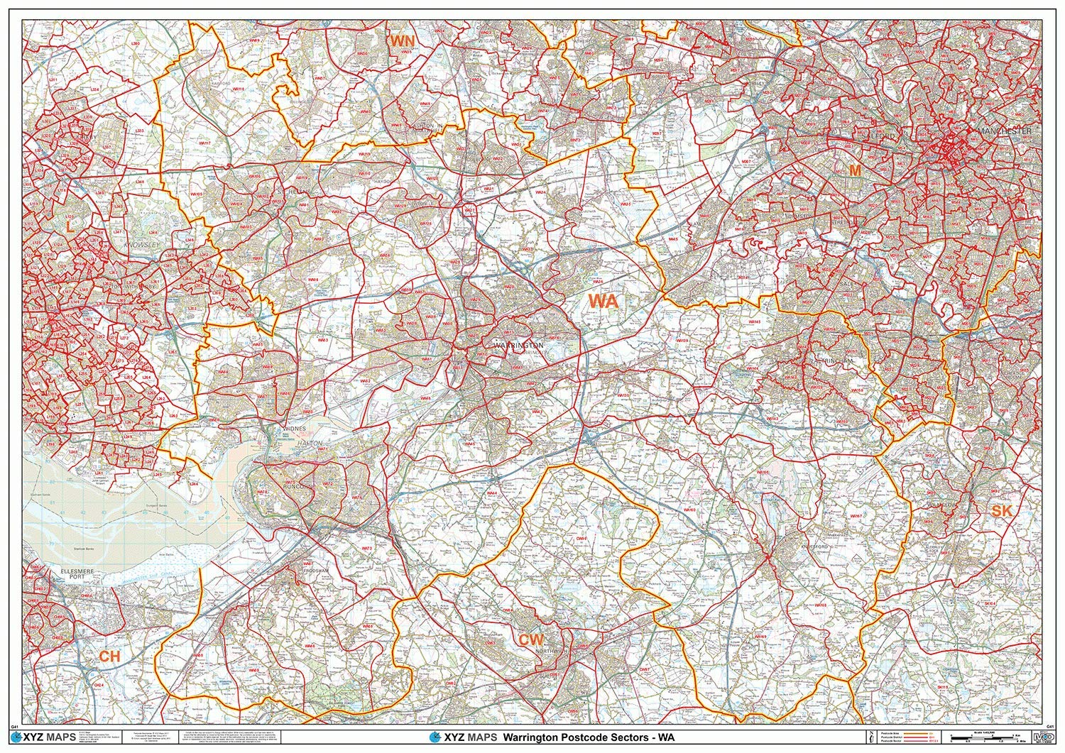
Warrington - WA - Postcode Wall Map - Paper
From 29,99 EUR