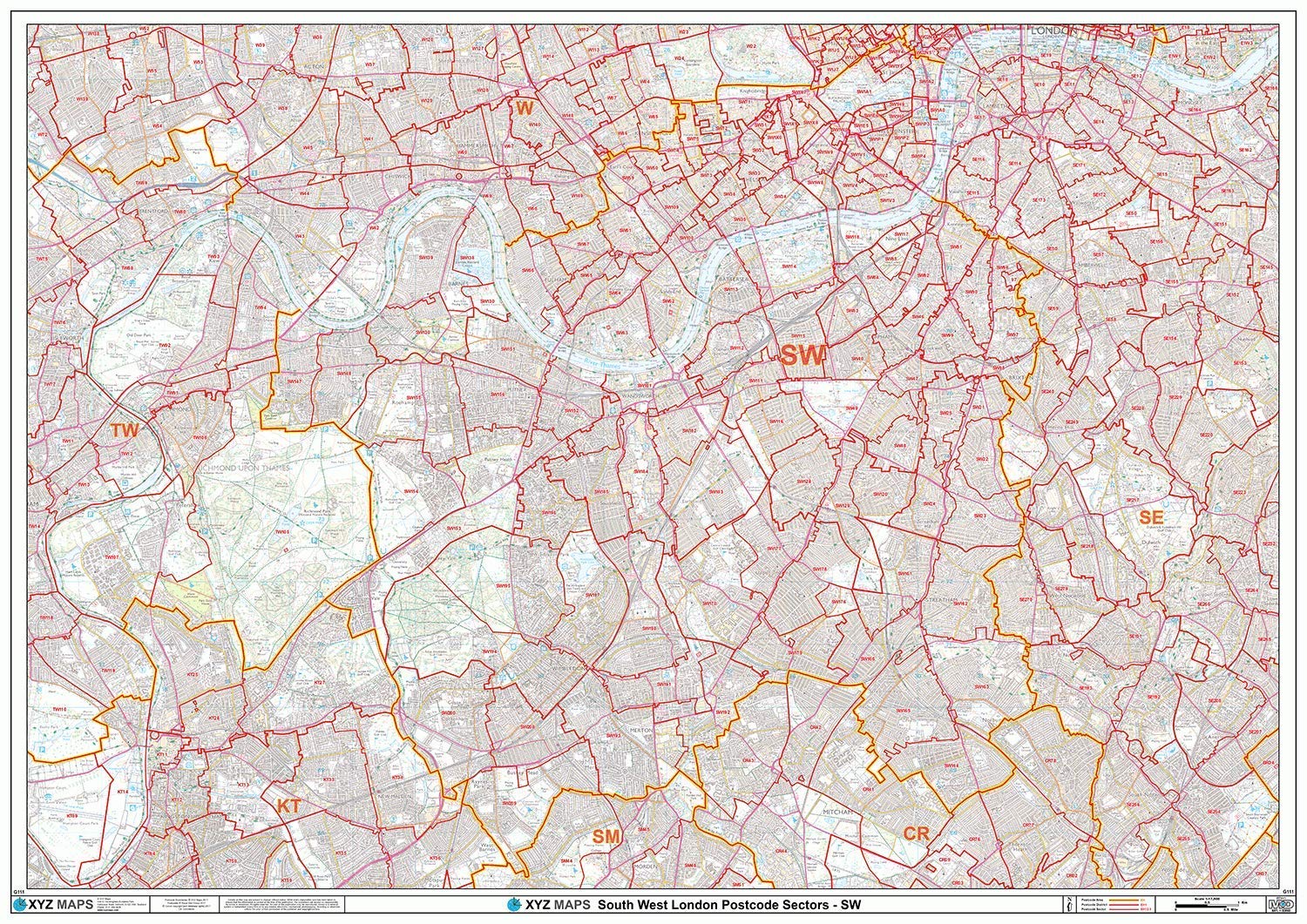
South West London - SW - Postcode Wall Map - Paper
XYZ Maps
A High Quality Postcode Sector Wall Map. Showing the Entire SW Postcode Area, Incorporating the New Royal Mail Boundary Changes around Battersea and Nine Elms. with Precise Boundaries and Clear Postcode Labels on a Detailed Map Background. A0 Size - 1189mm x 841mm Art quality 120 gsm paper
Compare prices (1 shop)
| shop | Price | Action |
|---|---|---|
|
|
29,99 GBP | Go to shop |
Similar products
-
-
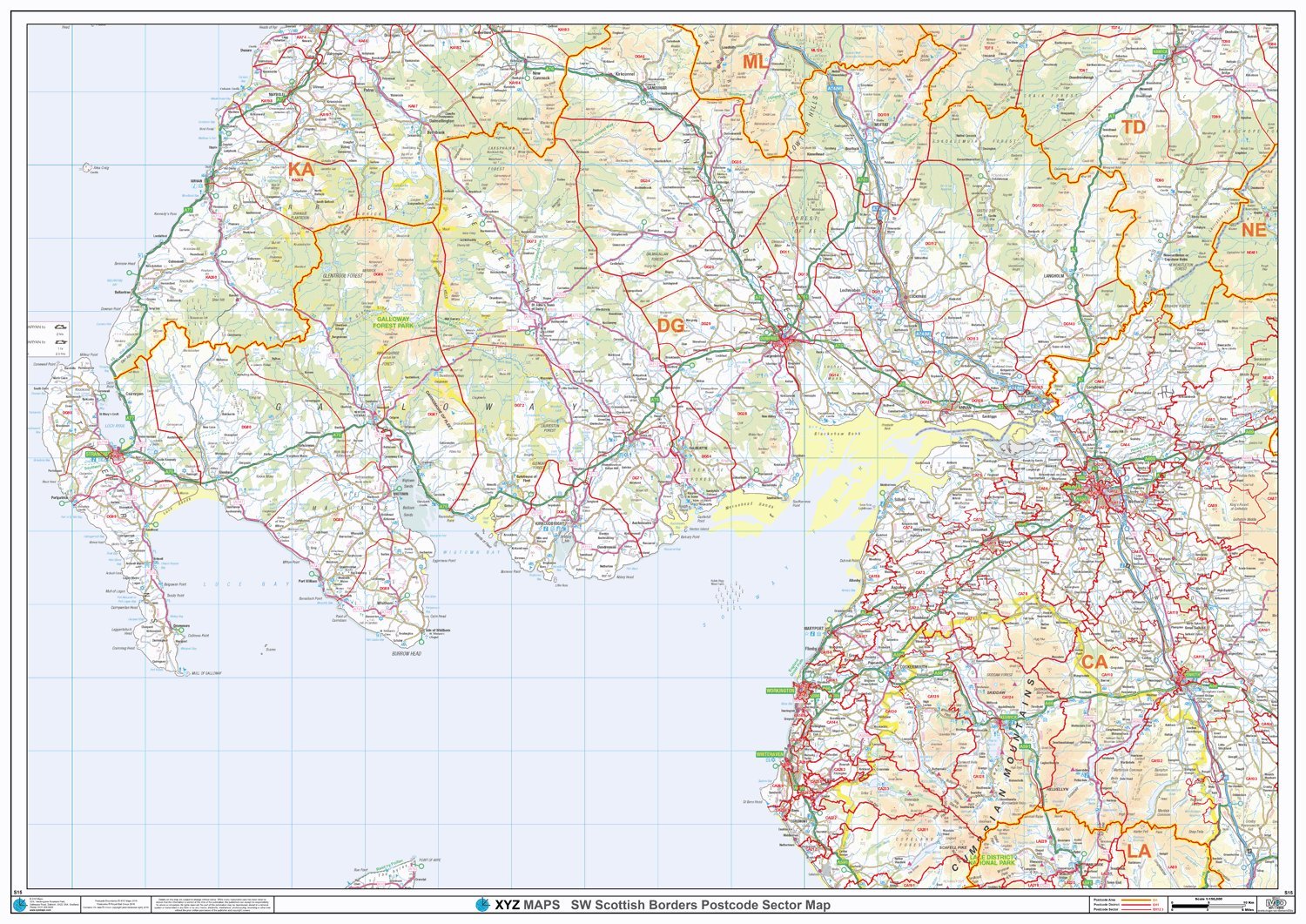
South Scotland - Postcode District Wall Map-Paper
From 29,99 EUR -
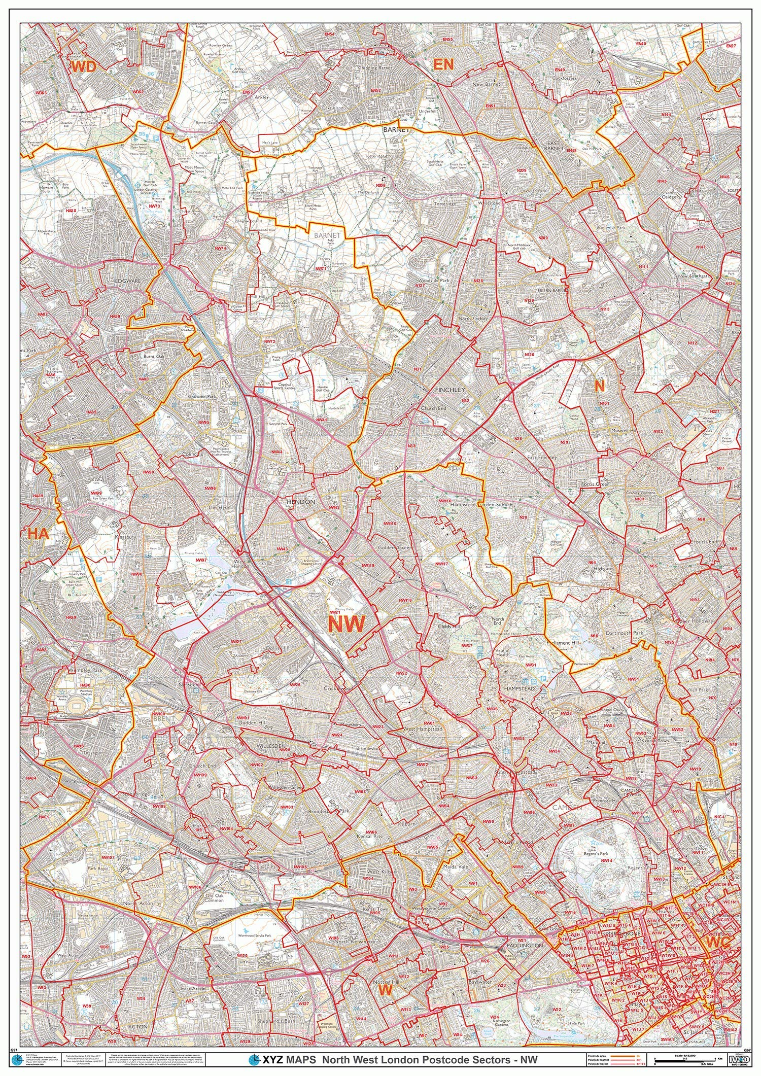
North West London - NW - Postcode Wall Map - Paper
From 29,99 EUR -
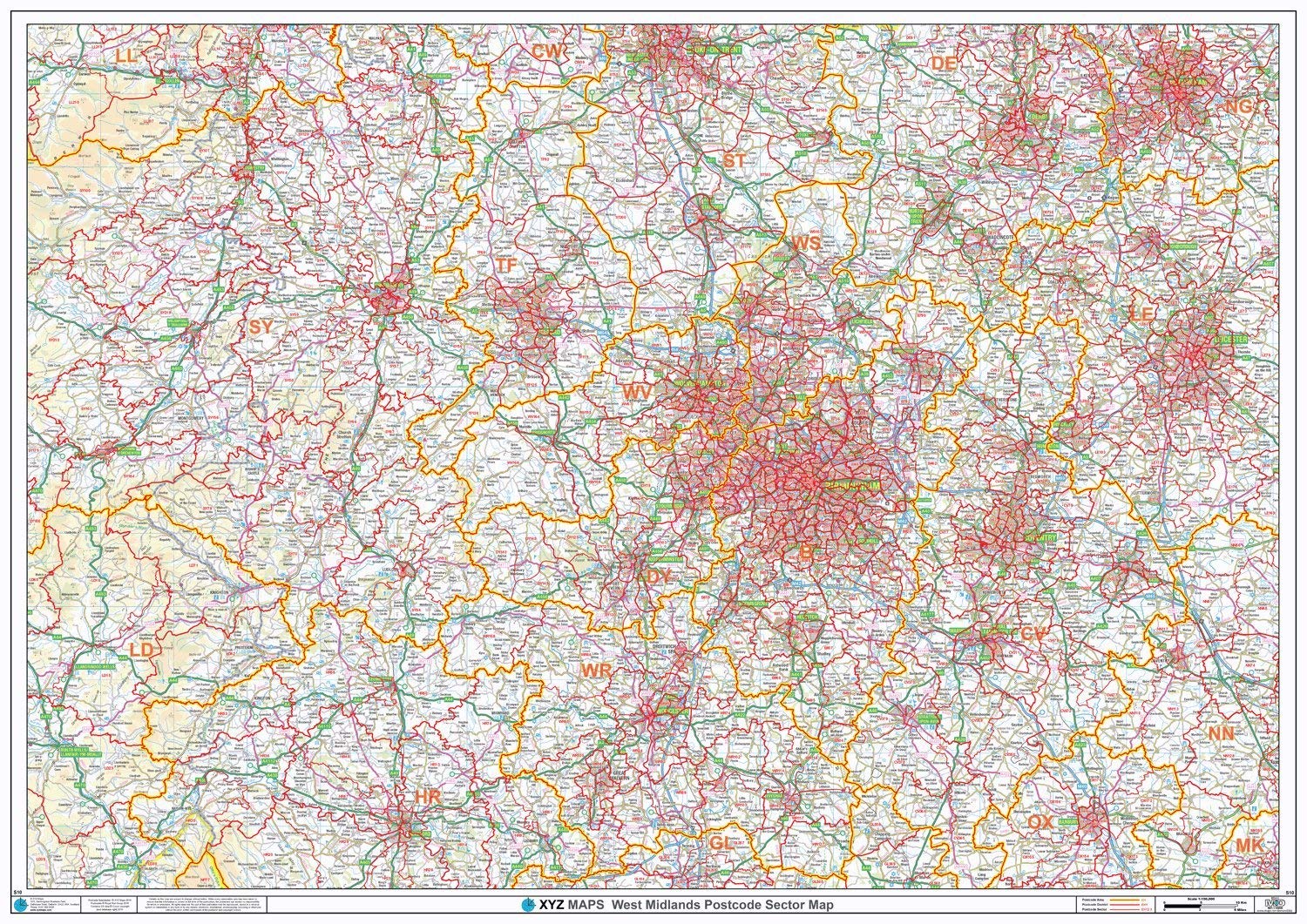
Postcode Sector Map - (S10) - West Midlands - Wall Map-Paper
From 29,99 EUR -
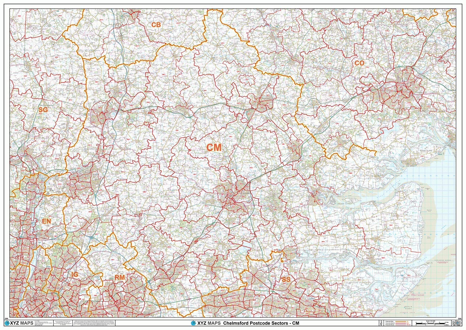
Chelmsford - CM - Postcode Wall Map - Paper
From 29,99 EUR -

Blackburn - BB - Postcode Wall Map - Paper
From 29,99 EUR