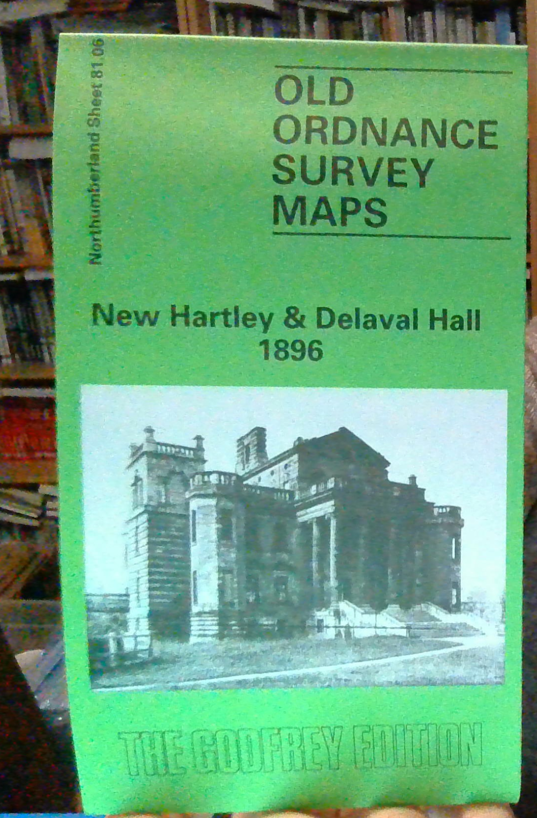
MAP OF New Hartley & Delaval Hall 1896 Northumberland Sheet 81.06 NEW
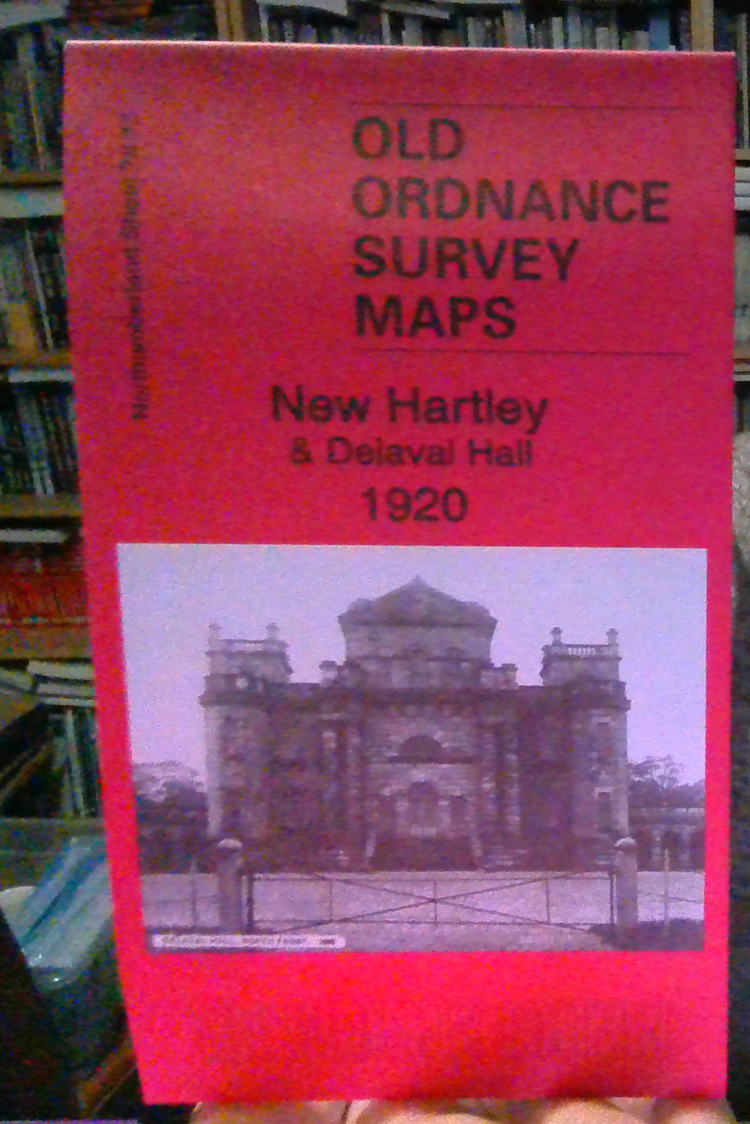
Here are the details of maps for New Hartley & Delaval Hall:\n\nNorthumberland 81.06 New Hartley & Delaval Hall 1896 - published 1989; intro by Alan Godfrey. ISBN.978-0-85054-210-3 Northumberland 78.15 New Hartley & Delaval Hall 1920 - published 2023; intro by Alan Godfrey. ISBN.978-1-78721-645-7 We have published two versions of this map, showing how the area changed across the years. Note that they have slightly different sheetlines and different sheet numbers.\nFeatures on the 1920 map include Delaval Hall, Seaton village, Mausoleum, NER Avenue Branch, Hartley Station, Blyth & Tyne railway, New Hartley, St Michael's church, Hastings Hartley Arms Inn etc. On the reverse of this map we include a section of the 1858 six-inch map showing the area from Hartley Colliery to the coast, including Dealaval Hall, Seaton Sluice and Hartley.\nThe 1896 map, on slightly different sheetlines, is double-sided for maximum coverage.\nThe maps link up with Sheets 78.14 Seatoh
Compare prices (1 shop)
| shop | Price | Action |
|---|---|---|

|
3,45 GBP | Go to shop |