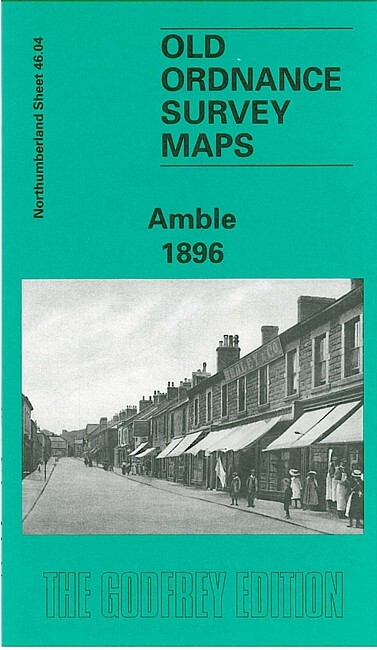
Amble 1896 Northumberland Sheet 46.04 by John Griffiths
Here are the details of maps for Amble:\n\nNorthumberland Sheet 46.04 Amble 1896 - published 1998; intro by John Griffiths. ISBN.978-0-85054-956-0 This detailed map covers the small coastal town of Amble, where the population rose from 247 in 1831 to 4,428 by 1901. It had become a significant port for coal export, and there was also a brick works on the quayside. Features on the map include the town centre, railway and station, wagonway, harbour (called Warkworth Harbour, but note the map does not include Warkworth itself), High Street, coastguard station, salt works, Amble Links. On the reverse we have a backing map which includes the North Pier, together with a directory of Amble in 1890.
Compare prices (2 shops)
| shop | Price | Action |
|---|---|---|

|
3,45 GBP | Go to shop |
|
|
3,75 GBP | Go to shop |