

Alnwick 1897 Northumberland Sheet 32.09 by John Griffiths
Explore the beauty of Alnwick in 1897 with this detailed travel map by John Griffiths. This sheet map is a perfect addition to any local history or transportation enthusiast's collection. The map measures 220mm in height and 140mm in width and is published by Alan Godfrey Maps.\n\nThe map features the Northumberland Sheet 32.09, which provides a comprehensive overview of the area's history and transportation infrastructure. The publication year of the map is 2003, and it is written in English. Get ready to immerse yourself in the fascinating world of Alnwick with this must-have Street map.\nHere are the details of maps for Alnwick:\nNorthumberland Sheet 32.09 Alnwick 1897 - published 2003; intro by John Griffiths. ISBN.978-1-84151-495-6 This detailed map of Alnwick is double-sided for maximum coverage. The main map covers the town centre, including the great Castle, Market Place, Clayport Street, Pottergate, Fenkle Street, Bondgate, Narrowgate, Bailifgate, St Michael's church, S.
Compare prices (2 shops)
| shop | Price | Action |
|---|---|---|

|
3,45 GBP | Go to shop |
|
|
3,75 GBP | Go to shop |
Similar products
-
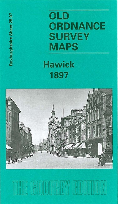
Hawick 1897 Roxburghshire Sheet 25.07 by John Griffiths
From 3,75 EUR -
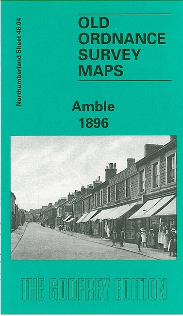
Amble 1896 Northumberland Sheet 46.04 by John Griffiths
From 3,75 EUR -

Selkirk 1897 Selkirkshire Sheet 12.05 by John Griffiths
From 3,75 EUR -
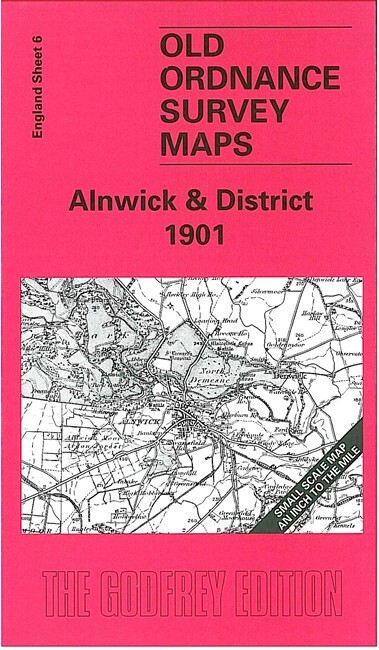
-

-
