
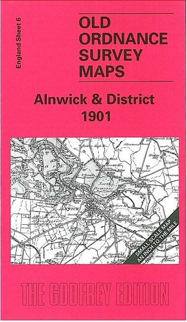
Alnwick & District 1901 One inch Sheet 6 by John Griffiths
--\nThis Inch to the Mile map covers an area of north Northumberland centred on Alnwick. Coverage stretches from Lilburn Tower and Embleton southward to Warkworth. On the reverse we include a detailed map of the seaside village of Alnmouth, together with a directory. For transport historians the Coldstream branch, running north from Alnwick, will be of special interest.\n\nIt is not possible to list the many hamlets, farmsteads and other topographical features shown on these maps. However, you may find it useful if we list the towns and principal villages or church parishes that are included on this map. \nNorthumberland: Alnham, Alnmouth, Alnwick, Beanley, Birling, Bolton, Brandon, Branton, Brunton, Craster, Denwick, Dunstan, East Lilburn, Edlingham, Eglingham, Embleton, Glanton, Hepburn, High Buston, Howick, Ilderton, Ingram, Lesbury, Little Houghton, Long Houghton, North Charlton, North Middleton, Old Bewick, Prendwick, Rennington, Rock, Roseden, Shilbottle, Shipley, South Ch.
Compare prices (2 shops)
| shop | Price | Action |
|---|---|---|

|
3,45 GBP | Go to shop |
|
|
3,75 GBP | Go to shop |


