MAP OF Buxton 1919 Derbyshire Sheet 15.13 NEW 9781787216884
Here are the details of maps for Buxton:\n\nDerbyshire 15.13a Buxton 1897 - published 2001; intro by John Griffiths. ISBN.978-1-84151-263-1 Derbyshire 15.13b Buxton 1919 - published 2023; intro by Alan Godfrey. ISBN.978-1-78721-688-4 We have published two versions of this detailed map, showing how the area changed across the years.\nThe maps cover the centre of the spa town of Buxton, with coverage extending eastward to Fairfield and Fairfiel Farm. Southward coverage extends to Spencer Road, westward to Burlington Road.\nFeatures include the Midland and LNW stations, Higher Buxton station, Hogshaw area, Fairfield area, Buxton Gardens, Devonshire Hospital, Palace Hotel, The Pavilion, Cricket Ground, Corvar Hall, Wye House, Higher Buxton area, gas works, St Peter's church Fairfield, The Crescent, Hardwick Mount area, Trinity church, St John's church, Market Place, Old Hall Hotel, George Hotel, Spring Gardens, livery stables, Onward Cottages etc. Each map includes extracts fro.
Compare prices (2 shops)
| shop | Price | Action |
|---|---|---|

|
3,45 GBP | Go to shop |
|
|
3,45 GBP | Go to shop |
Similar products
-

-

-
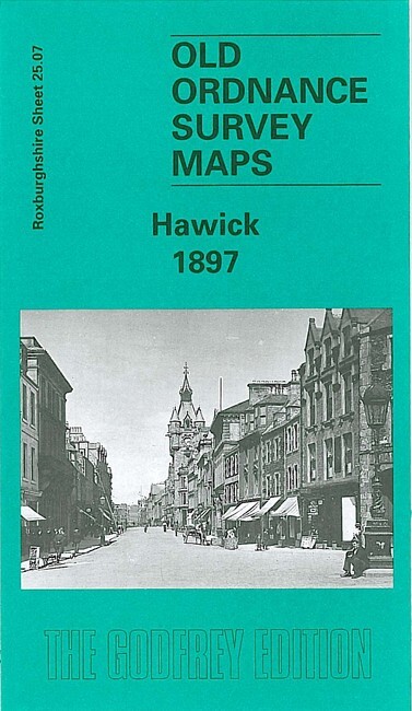
Hawick 1897 Roxburghshire Sheet 25.07 by John Griffiths
From 3,75 EUR -

-

Selkirk 1897 Selkirkshire Sheet 12.05 by John Griffiths
From 3,75 EUR -