

Selkirk 1897 Selkirkshire Sheet 12.05 by John Griffiths
Explore the historical landscape of Selkirkshire with the detailed travel map 'Selkirk 1897: Selkirkshire Sheet 12.05' by John Griffiths. Published by Alan Godfrey Maps in 1999, this sheet map offers a comprehensive view of the transportation routes and topography of the area at the end of the 19th century. \n\nWith its dimensions of 220 mm by 297 mm, the map is a perfect companion for both research and leisure, allowing you to trace the evolution of Selkirkshire's transportation networks and understand its past. The map is in English and delves into the subject with a rich blend of historical detail and cartographic precision.\nHere are the details of maps for Selkirk:\nSelkirkshire Sheet 12.05 Selkirk 1897 - published 1999; intro by John Griffiths. ISBN.978-1-84151-131-5 This detailed map captures Selkirk, a town that was transformed in the 19th century by the development of the textile industry. Numerous woolen mills are a major factor here, close to the Etrick Water. Coverag.
Compare prices (2 shops)
| shop | Price | Action |
|---|---|---|

|
3,45 GBP | Go to shop |
|
|
3,75 GBP | Go to shop |
Similar products
-

-
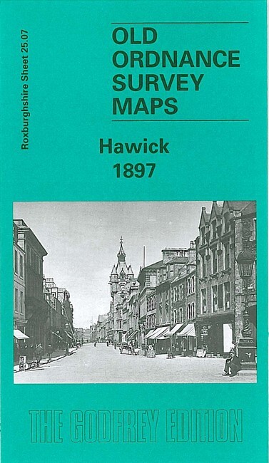
Hawick 1897 Roxburghshire Sheet 25.07 by John Griffiths
From 3,75 EUR -

-

-
-
