
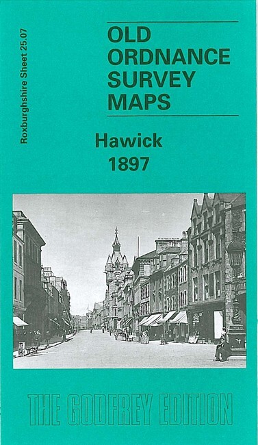
Hawick 1897 Roxburghshire Sheet 25.07 by John Griffiths
Our detailed map of Hawick is double-sided to give maximum coverage. The main map covers the southern half of the town, with coverage from the High Street southward to Whitlaw Wood, and westward to Wilton Dean. Features include stretch of North British Railway, Slitrig Dyeworks, Stonefield Mill, Linnwood Mill, Hardie's Hill, Workhouse, cemetery, Howlands Mill, Common Haugh, Town Hall, town centre with individual buildings neatly shown, Public Park, Wilton Lodge, River Teviot, Hospital, St Mary's church, other churches and chapels, etc.\nOn the reverse we include a portion of adjacent map 25.03 extending coverage northward to include Wilton, railway station, Auction Mart, Riversdale Mills, Mansholme Mills, Waverley Mills, Eastfield Mills, Glebe Mills, North Bridge etc.
Compare prices (1 shop)
| shop | Price | Action |
|---|---|---|

|
3,75 GBP | Go to shop |
Similar products
-

-

Selkirk 1897 Selkirkshire Sheet 12.05 by John Griffiths
From 3,75 EUR -

-

-

-

Eston 1927 Yorkshire Sheet 17.01 by John Griffiths
From 3,75 EUR