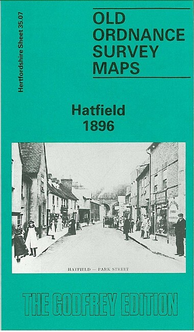
Hatfield 1896 Hertfordshire Sheet 35.07 by Pamela Taylor
Explore the streets of Hatfield in 1896 with this detailed street map/grid by Pamela Taylor, published by Alan Godfrey Maps. Sheet 35.07 provides a fascinating glimpse into the local history of Hertfordshire, ideal for historians, genealogists, or anyone interested in the past. \n\nThe map is a superb resource for navigating the town at the end of the 19th century, with its clear markings and detailed layout. It comes from a series of maps that cover the county in great detail, making it a valuable addition to any collection.\nHere are the details of maps for Hatfield:\nHertfordshire Sheet 35.07 Hatfield 1896 - published 1990; intro by Pamela Taylor. ISBN.978-0-85054-374-2 This detailed map covers most of the town of Hatfield, with coverage extending from the New Town eastward to Hatfield Park, and from Dagmar House and the Red Lion Hotel southward to the New Gardens.\nFeatures include Hatfield House, GNR railway with station, sidings etc, junction with St Albans line, St Etheld.
Compare prices (2 shops)
| shop | Price | Action |
|---|---|---|
|
|
3,45 GBP | Go to shop |
|
|
3,75 GBP | Go to shop |
Similar products
-

-

-

-

-
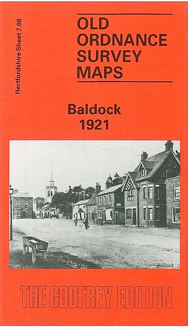
Baldock 1921 Hertfordshire Sheet 7.08 by Pamela Taylor
From 3,75 EUR -

Radlett 1912 Hertfordshire Sheet 39.12 by Pamela Taylor
From 3,75 EUR