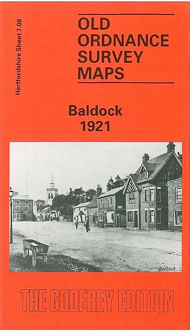
Baldock 1921 Hertfordshire Sheet 7.08 by Pamela Taylor
This detailed map covers the Hertfordshire town of Baldock. Features include St Mary's church, High Street, White Horse Street, Church Street, Norton Street with all their buildings clearly marked; Clothall End, Pembroke End, station, malthouses. Coverage extends north to Blackhorse Farm. On the reverse we include Inch to the Mile Sheet 221, from 1888; this covers the area from Hitchin, Stevenage and Baldock eastward to Buntingford.
Compare prices (1 shop)
| shop | Price | Action |
|---|---|---|
|
|
3,75 GBP | Go to shop |
Similar products
-

-
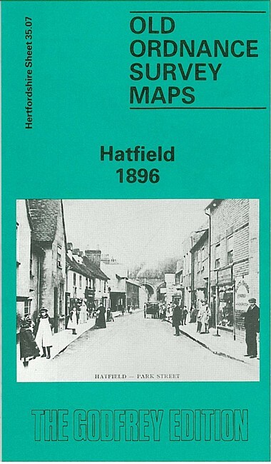
Hatfield 1896 Hertfordshire Sheet 35.07 by Pamela Taylor
From 3,75 EUR -

Radlett 1912 Hertfordshire Sheet 39.12 by Pamela Taylor
From 3,75 EUR -

-

-
