
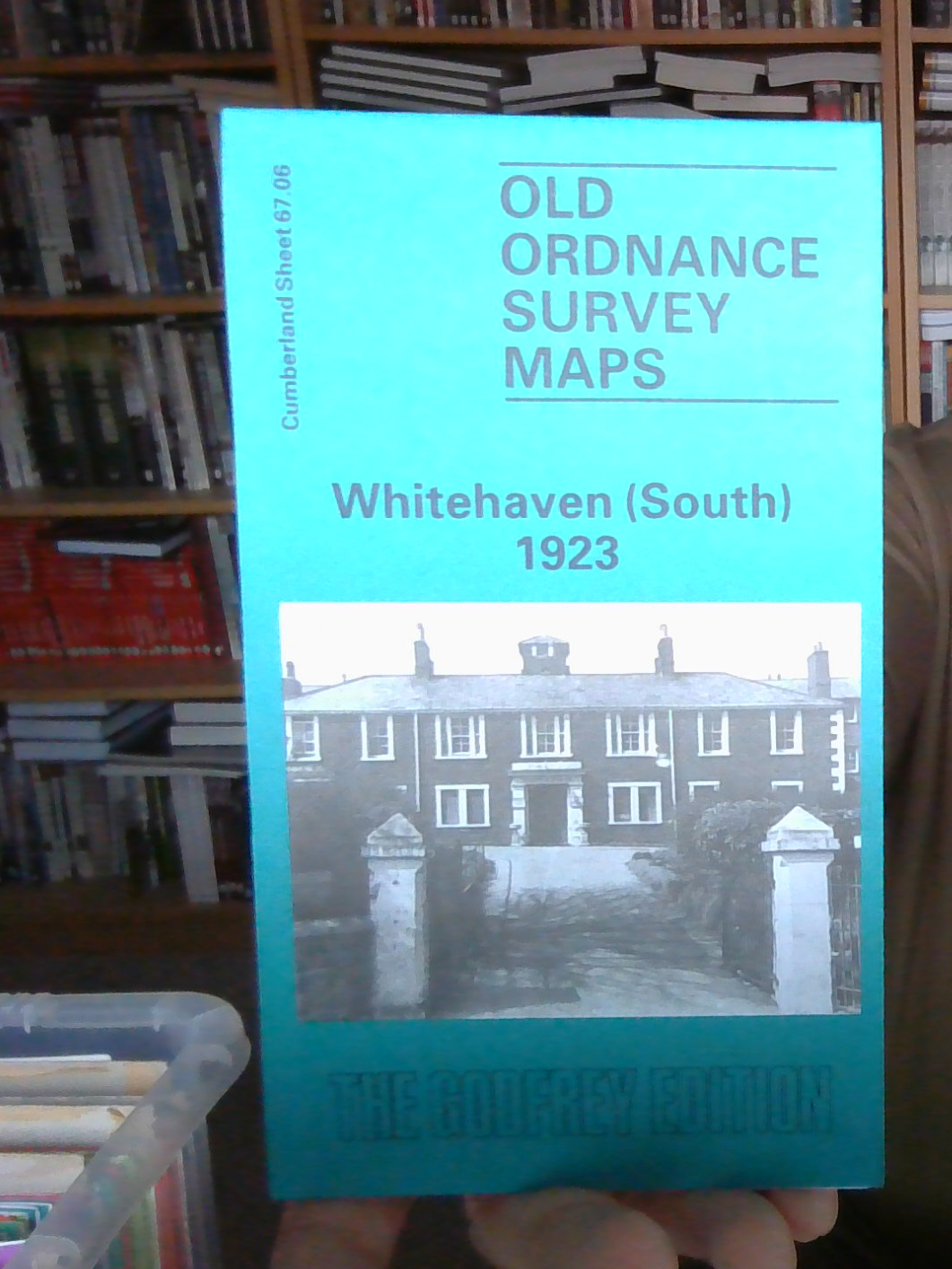
MAP OF Workington (SOUTH) 1923 NEW 9780850543902
Godfrey Edition
Here are the details of maps for Workington (South):\n\nCumberland Sheet 53.11 Workington (South) 1923 - published 1990; intro by Anne Dick. ISBN.978-0-85054-390-2 This detailed map of north Workington is double-sided for maximum coverage.\nThe main map covers the centre of Workington, with coverage extending southward to Mossbay Road, eastward to Schoose Quarry. Features include town centre with individual buildings neatly shown, Town Hall, St John's church, Our Lady & St Michael's RC church, Banklands, cemetery, Infirmary, Jane Pit (disused), New Yard and New Yard Iron Works, Buddle Pit (disused), Workington Bridge & Boiler Works, LMSR railway with station, engine shed, Cleator & Workington line with Central station, engine shed, Drill Hall, Technical College, Workington Hall, Workington Brewery, etc.\nOn the reverse we include adjacent sheet 53.10 extending coverage westward to the coast and largely comprising Derwent Iron & Steel Works with sidings, blast fur.
Compare prices (1 shop)
| shop | Price | Action |
|---|---|---|
|
|
3,45 GBP | Go to shop |
Similar products
-

-

-

-
-
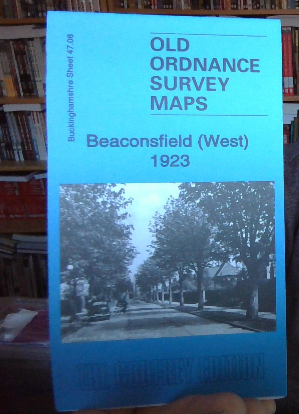
MAP OF Beaconsfield (West) 1923 NEW 9781787215832
From 3,45 EUR -
