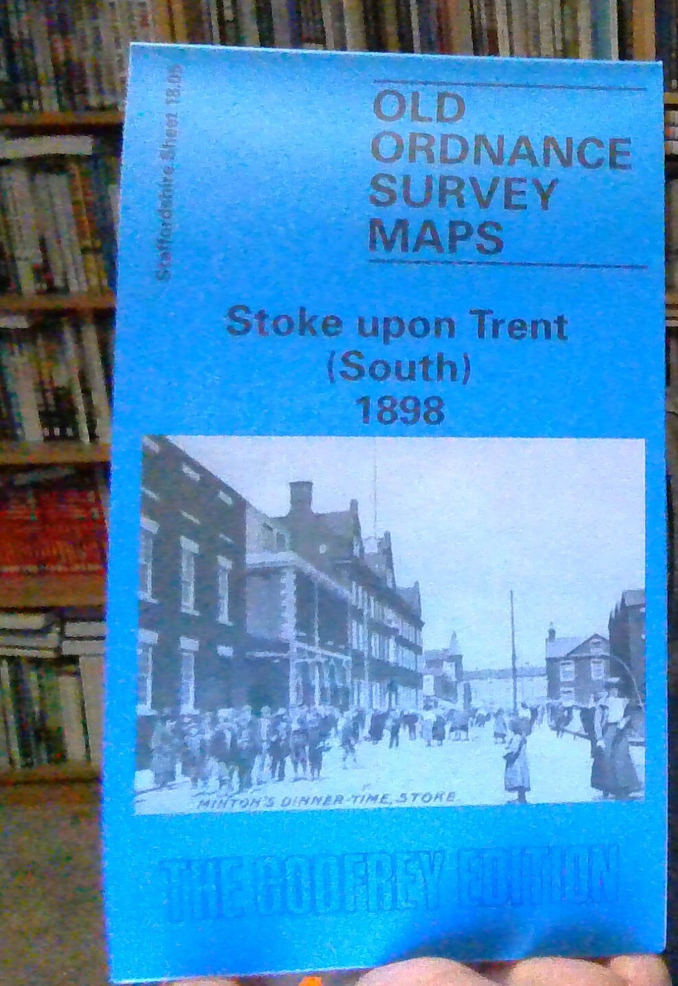
MAP OF Stoke-upon-Trent (South) 1898: Staffordshire Sheet 18.05 NEW
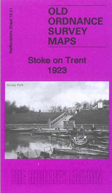
Here are the details of maps for Stoke on Trent (S):\n\nStaffs 18.05a Stoke upon Trent (South) 1898 - published 1993; intro by Alan Godfrey. ISBN.978-0-85054-586-9 Staffs 18.05b Stoke upon Trent (South) 1923 - published 2022; intro by Barrie Trinder. ISBN.978-1-78721-572-6 We have published two versions of this map, showing how the area changed across the years.\nThe maps cover the southern part of Stoke upon Trent itself, with coverage stretching from St Peter's church southward to Oak Hill, and from Queen's Road eastward to Regent Road.\nFeatures include North Staffordshire Railway with Stoke Junction, NSR Engineering Works and engine sheds; Mount Pleasant area with St Paul's church; California Works, Colonial Pottery, Trent & Mersey Canal, gas works, football ground, tramways and depot, St Peter's church, tileries, Newcastle under Lyme Canal, Oakhill Hall, Boothen area with All Saints church, Boothen Farm, earthenware works, Market Hall, Manor House, Stokeville area,.
Compare prices (2 shops)
| shop | Price | Action |
|---|---|---|
|
|
2,18 GBP | Go to shop |
|
|
3,45 GBP | Go to shop |
Similar products
-

The Borough of Stoke-Upon-Trent
From 38,95 EUR -

-
-

Borough of Stoke - Upon - Trent: John Ward - Hardback 1969
From 25,00 EUR -

-
