Stoke on Trent 1923 Staffordshire Sheet 18.01b by Alan Godfrey
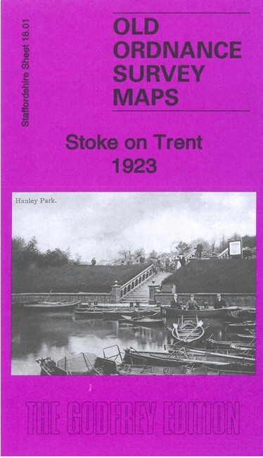
This map covers the northern half of Stoke upon Trent, with the southern part of Hanley, and westward to Hartshill and Cliff Vale.\nFeatures include Trent & Mersey Canal, NSR railway with Stoke station, Newcastle Junction, goods sheds, Cliffe Vale Potteries, tile and earthenware manufactories, tramways, Convent, North Staffordshire Infirmary, Cemetery, NS Blind & Deaf School, Holy Trinity church Hartshill, county cricket ground, Basford Tileries, Albion Pottery, Etruscan Tile Works, Cauldon Ward, Shelton Hall, Bedford Works, Cauldon Place, Caldon Canal, Hanley Park, Cleveland House, St Mark's church (at top of map), sewage works, Winton pottery, etc.
Compare prices (1 shop)
| shop | Price | Action |
|---|---|---|
|
|
3,75 GBP | Go to shop |
Similar products
-

-

Holyhead 1923 Angelsey Sheet 11.02 by Alan Godfrey
From 3,75 EUR -

-

-

-
