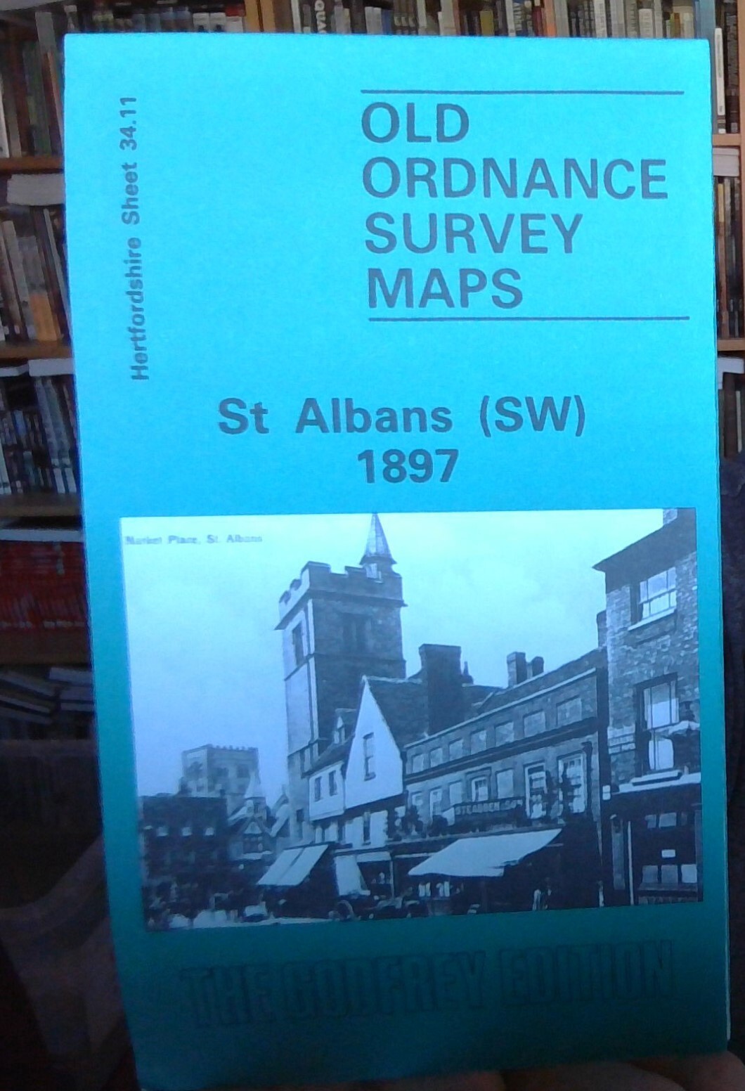
Harpenden 1897 Hertfordshire Sheet 27.07 by Alan Godfrey
eBay Store Design by Visualsoft\n\nHarpenden 1897 (Hertfordshire Sheet 27.07) - Old OS Maps\n\n--\n\u00A33.75\n\n--|\n\nDetailed map of Harpenden; Herts sheet 27.07\n\nIntroduction by Alan Godfrey\n\nDouble-sided map; includes Rothamsted, Hatching Green, Bowling Alley\n\nAsk a Question\n\nDescription\n\nAbout the 'Alan Godfrey Old Ordnance Survey Maps' Series\n\nAlan Godfrey has so far published over 2,000 of these detailed street maps for towns in England, Wales and Scotland.\n\nThe Maps are highly detailed, taken from the old Ordnance Survey 1/2500 scale plans and reprinted at about 14 inches to the mile (1:4,340). Most maps cover about one mile (1.6kms) by one and a half miles (2.4kms) - Adjoining sheets can be assembled together to provide wider coverage.\n\nThey cover towns in great detail, showing individual houses and property boundaries, railway tracks, factories, churches, mills, canals, tramways and even minutiae such as dockside cranes, fountains, signal posts, pt
Compare prices (2 shops)
| shop | Price | Action |
|---|---|---|
|
|
3,75 GBP | Go to shop |
|
|
3,75 GBP | Go to shop |