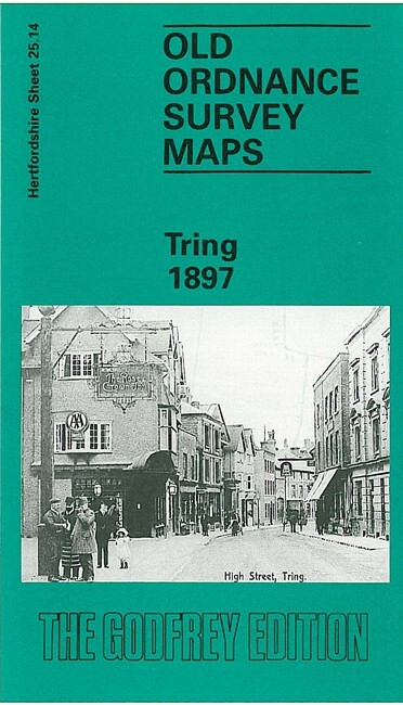
Tring 1897 Hertfordshire Sheet 25.14 by Elizabeth Lockwood
This detailed map covers the small town of Tring. The town itself is in the top half of the map and features there include the parish church, Dunsley Cottage, The Mansion, malthouses, Home Farm, Elm House, Church House, Parsonagebottom Farm, Okeford, Frogmore, High Street, cattle market, King Street, Western Road. Coverage extends south to much of Tring Park, and westward to the cemetery and West Leith. Note that the station is not on the map. A directory of Tring in 1899 is included on the reverse.
Compare prices (1 shop)
| shop | Price | Action |
|---|---|---|
|
|
3,75 GBP | Go to shop |
Similar products
-

-

-

-

-

Harpenden 1897 Hertfordshire Sheet 27.07 by Alan Godfrey
From 3,75 EUR -