
MAP OF Meanwood & Far Headingley 1906 YORKSHIRE SHEET 203.09 NEW 9780850547900
Yorkshire 203.09a Meanwood & Far Headingley 1906 - published 1996; intro by G C Dickinson. ISBN.978-0-85054-790-0Yorkshire 203.09b Meanwood & Far Headingley 1919 - published 2022; intro by Alan Godfrey. ISBN.978-1-78721-590-0We have published two versions of this map, showing how the area changed across the years.\nThe maps cover the Meanwood area on the north side of Leeds. The northern part of Headingley, around St Chad's church, Otley Road and Moor Road, is in the bottom left corner and coverage extends north to Meanwood Hall, eastward to Carr Manor. The scattered communities across the map include Weetwood, Meanwood, Myrtle Square and Hill Top, Bentley. Features on what was still a developing townscape landscape include Holy Trinity church, Meanwood Tanneries, Weetwood Dye & Print Works, Bardon Hill, Bardon Grange, tramways terminating at Far Headingley and Bentley, Meanwood Quarry. Carr Manor and Meanwood Hall stand in extensive grounds.
Compare prices (2 shops)
| shop | Price | Action |
|---|---|---|
|
|
3,70 GBP | Go to shop |
|
|
3,70 GBP | Go to shop |
Similar products
-

MAP OF Stanningley 1906: Yorkshire Sheet 217.02 NEW
From 4,50 EUR -
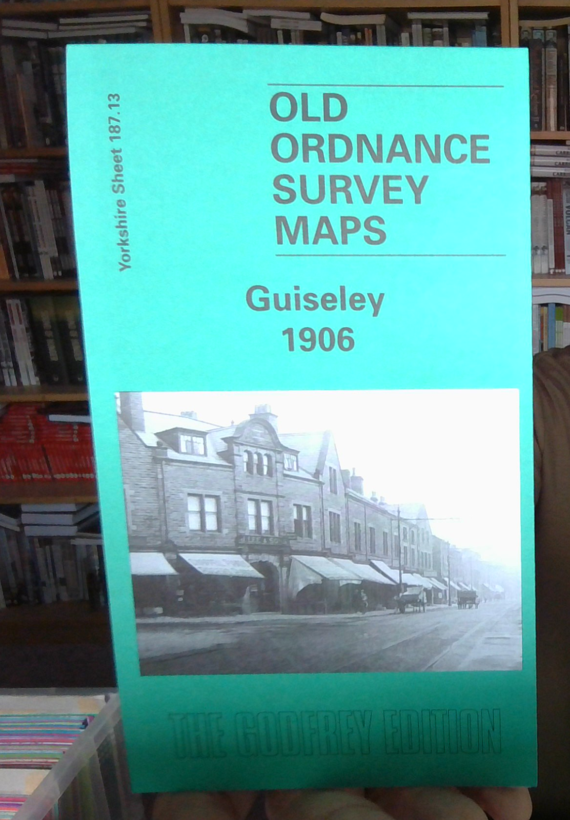
MAP OF GUISELEY 1906 YORKSHIRE SHEET 187.13 NEW
From 4,50 EUR -

-

-

-
