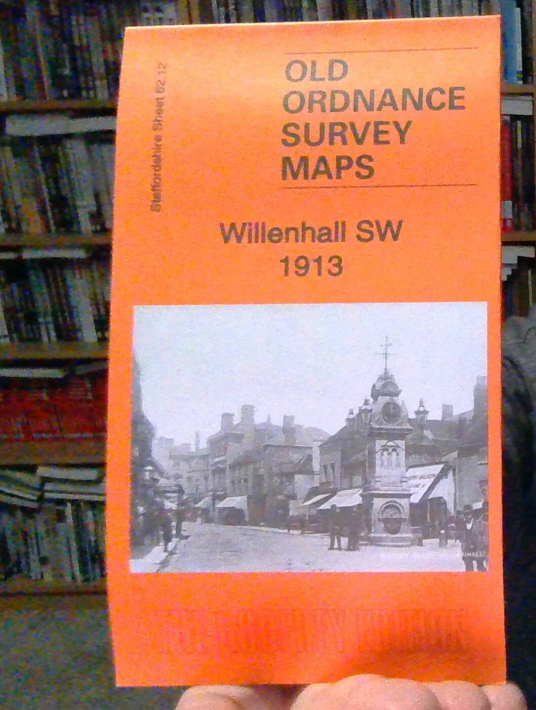
MAP OF Willenhall SW 1913 Staffordshire Sheet 62.12 NEW 9781787214101
Here are details of the map for SW Willenhall:\n\nStaffordshire 62.12a Willenhall (SW) 1901 - published 1996; intro by Horace Davis. ISBN.978-0-85054-832-7 Staffordshire 62.12b Willenhall (SW) 1913 - published 2021; intro by Barrie Trinder. ISBN.978-1-78721-410-1 We have published two versions of this map, showing how the area changed across the years. Each coversthe western part of Willenhall, with coverage extending westward to St Matthias church Moseley, and southward to Bilston Cemetery.\nFeatures include LNWR Grand Junction Line with Willenhall station, tramway, Market Place, St Stephen's church, Albion Wire Works (disused), Summerford Place, Portobello area, Bunker's Hill, Bunker's Hill Colliery, Green Lanes, Bilston Cemetery, Moseley Hole Farm, Moseley. Most of the map is littered with old coal shafts, old coal workings and the line of old industrial tramways.\nThe map links up with Staffordshire sheets 62.08 Willenhall NW to the north, 62.11 Wolverhampton SE to the .
Compare prices (2 shops)
| shop | Price | Action |
|---|---|---|
|
|
3,45 GBP | Go to shop |
|
|
3,45 GBP | Go to shop |
Similar products
-

MAP OF Ettingshall 1901 Staffordshire Sheet 62.15 NEW
From 3,45 EUR -

-

-

-
-
