
MAP OF Dudley 1901: Staffordshire Sheet 67.16, Radmore, David NEW 9780850549379
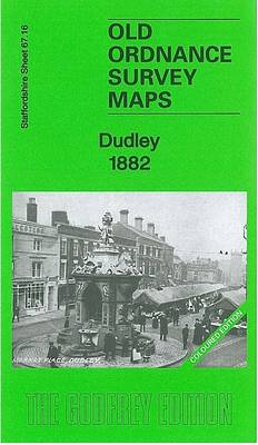
Here are the details of maps for Dudley:\n\nStaffs Sheet 67.16a Dudley 1882 - published 2012; intro by Angus Dunphy. ISBN.978-1-84784-588-7 Staffs Sheet 67.16b Dudley 1901 - published 1997; intro by David Radmore & Samantha Robins. ISBN.978-0-85054-937-9 Staffs Sheet 67.16c Dudley 1914 - published 2017; intro by Barrie Trinder. ISBN.978-1-78721-111-7 We have published three versions of this detailed map, showing how the area developed across the years: it covers the central area of Dudley, and coverage then extends eastward to Kate's Hill, Cawney Hill and Oakham. The map covers parts of both Staffordshire and Worcestershire and doubles as Worcs sheet 1.16.\nFeatures on this busy map include Dudley town centre in detail, with individual buildings neatly delineated, including Town Hall, Market Place, High Street area, St Thomas church, St Edmund's church, Waddam's Pool Works, St Mary & St Thomas RC Chapel, Netherton station, Paradise. Features elsewhere inc.
Compare prices (1 shop)
| shop | Price | Action |
|---|---|---|
|
|
4,50 GBP | Go to shop |
Similar products
-

-

-

-

MAP OF Ettingshall 1901 Staffordshire Sheet 62.15 NEW
From 3,45 EUR -
-

MAP OF Willenhall SW 1901 Staffordshire Sheet 62.12 NEW
From 3,45 EUR