Doncaster (North) 1903: Yorkshire Sheet 277.13a by Clive Howarth (Sheet map) NEW
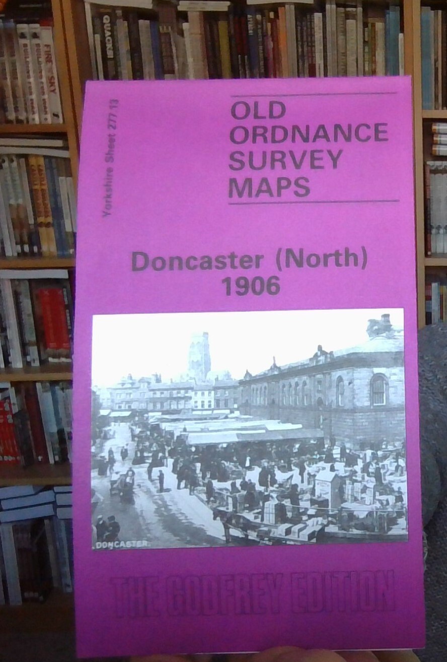
Here are the details of maps for Doncaster (North):\n\nYorkshire Sheet 277.13 a Doncaster (North) 1906 - published 1984; intro by Clive Howarth. ISBN.978-0-90755-496-7 Yorkshire Sheet 277.13 b Doncaster (North) 1929 - published 2006; intro by John Gough. ISBN.978-1-84151-949-4 We have published two versions of this map, so you can see how the area changed across the years. The maps cover a busy area of Doncaster, including much of the town centre and the area to the north. Coverage stretches from High Street and East Laithgate northward to the edge of town and (top left corner) Bentley Rise, and from Willow Bridge eastward to Wheatley and Well House Closes. Features on the map include the northern approaches to the station, including Marshgate Junction, northern part of railway works, New Cut Bridge, all shown in detail with track layout, signal boxes, even signal posts; French Gate, Marsh Gate, Doncaster Mill, Bone Crushing Mill, Don Foundry, Baxter Gate, St George's church
Compare prices (1 shop)
| shop | Price | Action |
|---|---|---|
|
|
3,45 GBP | Go to shop |

