
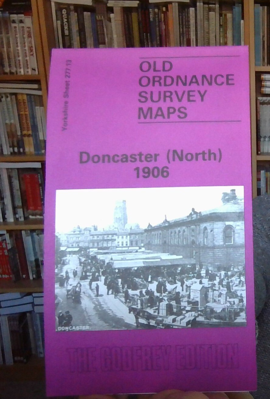
Doncaster (South) 1901: Yorkshire Sheet 285.01a by Clive Howarth (Sheet map) NEW
Here are the details of maps for Doncaster (South):\n\nYorkshire Sheet 285.01 a Doncaster (South) 1901 - published 1984; intro by Clive Howarth. ISBN.978-0-90755-497-4 Yorkshire Sheet 285.01 b Doncaster (South) 1928 - published 2006; intro by John Gough. ISBN.978-1-84151-950-2 We have published two versions of this map, so you can see how the area changed across the years. The maps cover a busy area of Doncaster, including part of the town centre and the area to the south. Coverage stretches from Priory Place and the station southward to Balby Road and Carr Hill, and from Kirk Street and Stone Close Avenue eastward to Carr House. Features on the map include the railway station and its southern approaches, including the GNR (later LNER) locomotive & carriage works, St James Bridge station, Cherrytree Goods Station, Danum Wagon Works, cattle pens, LNER offices, Balby Road Bridge, Hexthorpe Junction, Bridge Junction, South Yorkshire Junction, and the north end of two enginh
Compare prices (1 shop)
| shop | Price | Action |
|---|---|---|
|
|
3,45 GBP | Go to shop |
Similar products
-
-
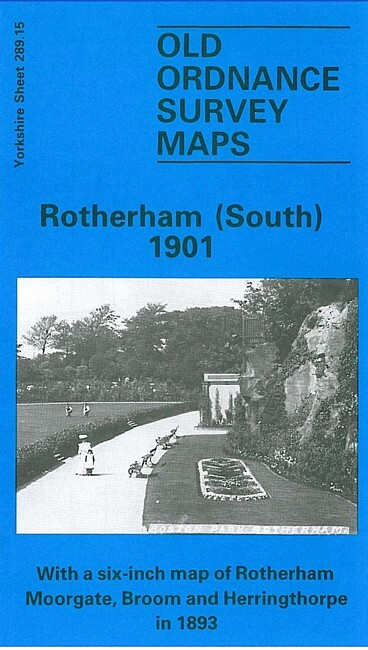
Rotherham (South) 1901 Yorkshire Sheet 289.15
From 3,75 EUR -
-
-
-
