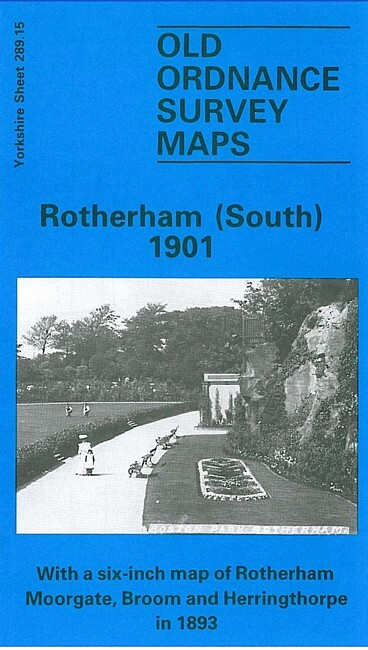
Rotherham (South) 1901 Yorkshire Sheet 289.15
Here are the details of maps for Rotherham (South):\n\nYorkshire Sheet 289.15 Rotherham (South) 1901 - published 1985. ISBN.978-0-85054-016-1 This detailed map covers the southern areea of Rotherham, centred on Oakwood Hall. Coverage stretches from Rotherham Cemetery southward to Whiston Grange, and from Rotherham Main Collieries and the River Rother eastward to Sitwell Vale.\nThis map does not include an introduction but on the reverse is the Six Inches to the Mile map for 1890 covering a larger area, including Rotherham itself, Sitwell Vale, Herringthorpe and Dalton Magna.\nThe map links up with Yorkshire Sheets 289.11 Rotherham to the north and 289.14 Templeborough to the east.
Compare prices (2 shops)
| shop | Price | Action |
|---|---|---|
|
|
3,45 GBP | Go to shop |
|
|
3,75 GBP | Go to shop |
Similar products
-

-

-
-
-
-

Kilnhurst 1901 Yorkshire Sheet 283.16 by Alan Godfrey
From 3,75 EUR