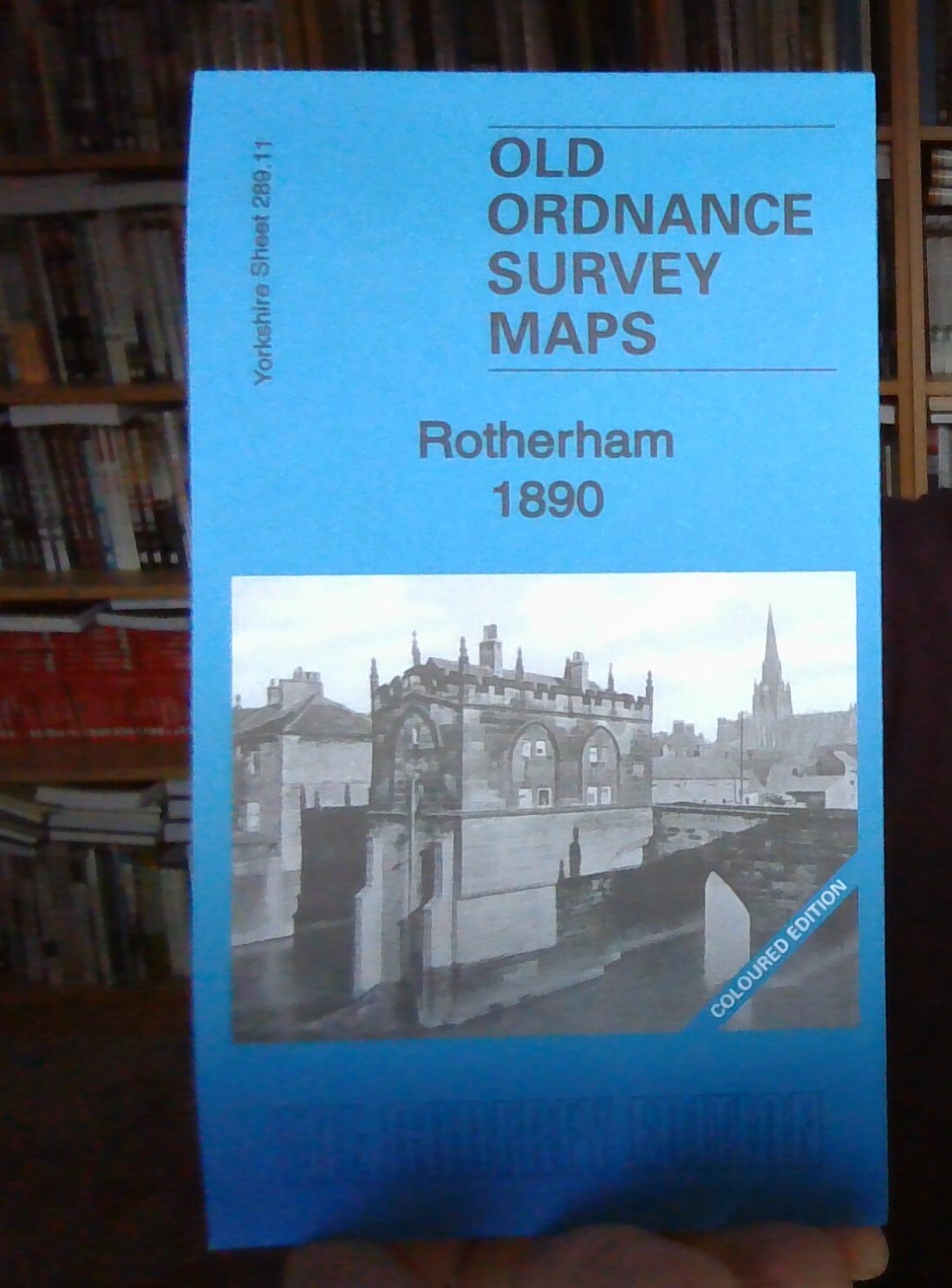
MAP OF Rotherham 1890 (Coloured) Yorkshire Sheet 289.11 NEW 9781847846945
Here are the details of maps for Rotherham:\n\nSheet 289.11a Rotherham 1890 - published 2013, intro by Melvyn Jones. ISBN.978-1-84784-694-5 Sheet 289.11b Rotherham 1901 - published 1984, 2nd edition 2020; intro by Freda Crowder, Sally Shepard & Alan Godfrey. ISBN.978-1-78721-360-9 Sheet 289.11c Rotherham 1922 - published 2004, intro by Melvyn Jones. ISBN.978-1-84151-698-1 We have published three versions of this detailed map, showing how the area developed across the years. The 1890 version is in colour, taken from the 1st edition OS handcoloured map.\nThe maps cover the same area, with coverage stretching from Masbrough Street eastward to Western Road, and from Kenneth Street southward to Reneville Road. Rotherham town centre is covered and the many features include Central station, Westgate station, Workhouse, Rotherham Old Brewery, cattle market, River Don, Sheffield & South Yorkshire Navigation, hospital, All Saints church, Effingham Works, Rotherham .
Compare prices (2 shops)
| shop | Price | Action |
|---|---|---|
|
|
3,50 GBP | Go to shop |
|
|
3,70 GBP | Go to shop |
Similar products
-

-
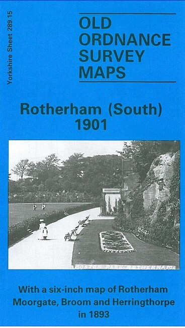
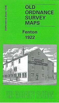
Rotherham (South) 1901 Yorkshire Sheet 289.15
From 3,75 EUR -
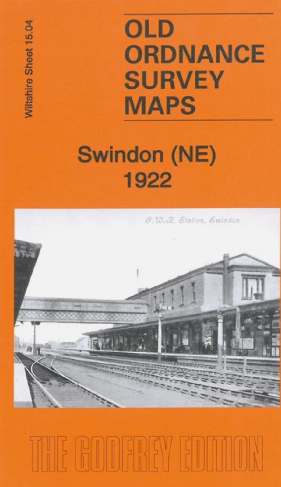
MAP OF Swindon NE 1922 Wiltshire Sheet 15.04 NEW
From 3,45 EUR -

MAP OF North Bournemouth 1922: Hampshire Sheet BRAND NEW
From 4,50 EUR -

-