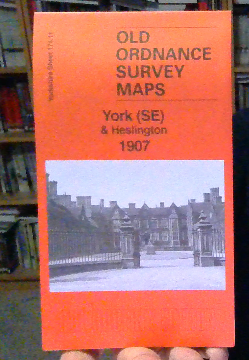
York (SE) & Heslington 1907 Yorkshire Sheet 174.11
Here are the details of maps for SE York:\n\nYorkshire 174.11a York (SE) & Heslington 1890 - published 2017; intro by Alan Godfrey. ISBN.978-1-78721-029-5 Yorkshire 174.11b York (SE) & Heslington 1907 - published 2025; intro by Martin Handley. ISBN.978-1-78721-907-6 We have published two versions of this map, showing how the area changed across the years. The 1890 version is in full colour, taken from the original handcolourd map.\nThe maps cover the area from Walmgate SE towards Heslington. Features include: Walmgate Bar, St Margaret's church, City Wall, St Lawrence church, Convent of Poor Clares, Friend's Retreat, St Nicholas Hospital site, cattle market, Fulford Road with tramway, Cavalry Barracks, Infantry Barracks, Abbeyfield House, Heslington Hall, St Paul's church, Charles XII pub, Heslington Windmill etc. Both maps include specially written introductions. The 1890 version also includes extracts from a contemporary directory. The 1907 version includes a.
Compare prices (2 shops)
| shop | Price | Action |
|---|---|---|
|
|
3,45 GBP | Go to shop |
|
|
4,95 GBP | Go to shop |
Similar products
-

-

-

-

MAP OF Wakefield (North) 1890 Yorkshire Sheet 248.03 NEW
From 3,45 EUR -
-
