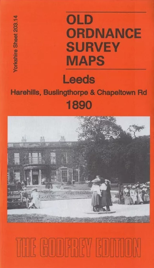
MAP OF Leeds (Harehills & Buslingthorpe) 1890 Yorkshire Sheet 203.14 NEW
Here are the details of maps for Leeds (North) and Chapeltown:\n\nYorks 203.14a Leeds (Harehills, Buslingthorpe & Chapeltown Road) 1890 - published 2018; intro by Alan Godfrey. ISBN.978-1-78721-161-2Yorks 203.14b Leeds (Harehills, Buslingthorpe & Chapeltown Road) 1906 - published 1992; intro by G C Dickinson. ISBN.978-0-85054-515-9Yorks 203.14c Leeds (Harehills, Buslingthorpe & Chapeltown Road) 1919 - published 2021; intro by Alan Godfrey. ISBN.978-1-78721-472-9We have published three versions of this map, showing how the area changed across the years.\nThe maps cover a busy part of northern Leeds. Coverage stretches from Woodhouse Street eastward to Harehills Road and northward to Potternewton Lane. Various areas are covered, including Harehills, New Leeds, Potternewton Park, Woodhouse Carr, Buslingthorpe and Scott Hall.\nFeatures (on the 1890 map) include Woodhouse Carr area, Buslingthorpe area, Buslingthorpe Tannery, Hill Top Leather Works, Carr Mills, Springwell Leath.
Compare prices (3 shops)
| shop | Price | Action |
|---|---|---|
|
|
3,45 GBP | Go to shop |
|
|
3,45 GBP | Go to shop |
|
|
4,50 GBP | Go to shop |
Similar products
-

-

-
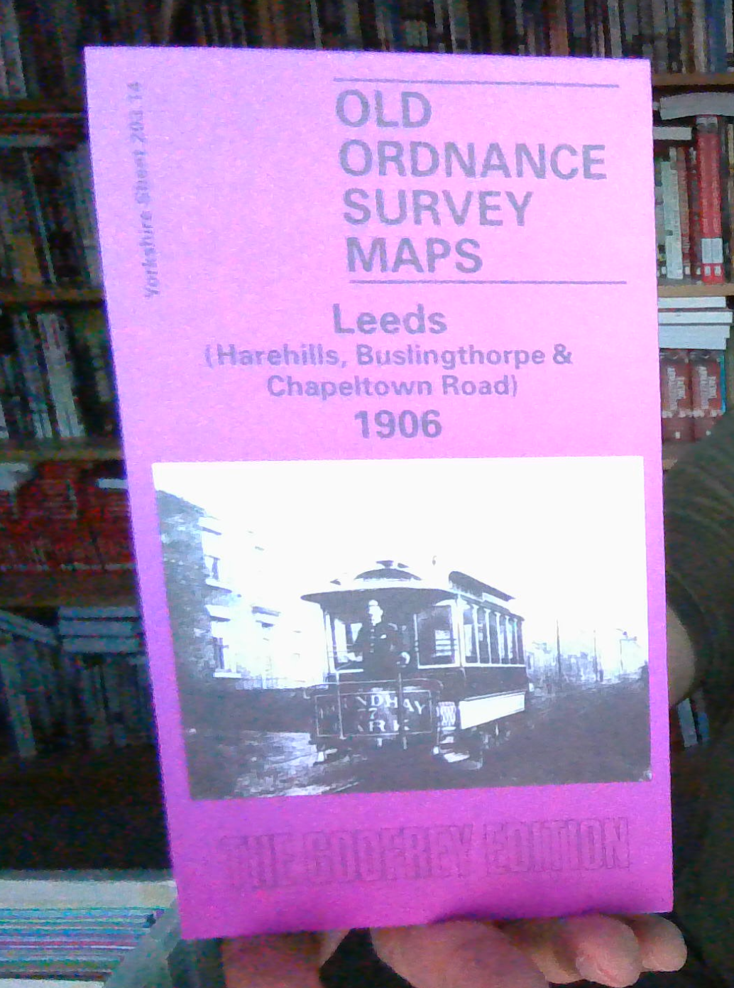
MAP OF LEEDS HAREHILLS 1906 YORKSHIRE SHEET 203.14
From 3,70 EUR -

MAP OF Stanningley 1906: Yorkshire Sheet 217.02 NEW
From 4,50 EUR -
MAP OF GUISELEY 1906 YORKSHIRE SHEET 187.13 NEW
From 4,50 EUR -
