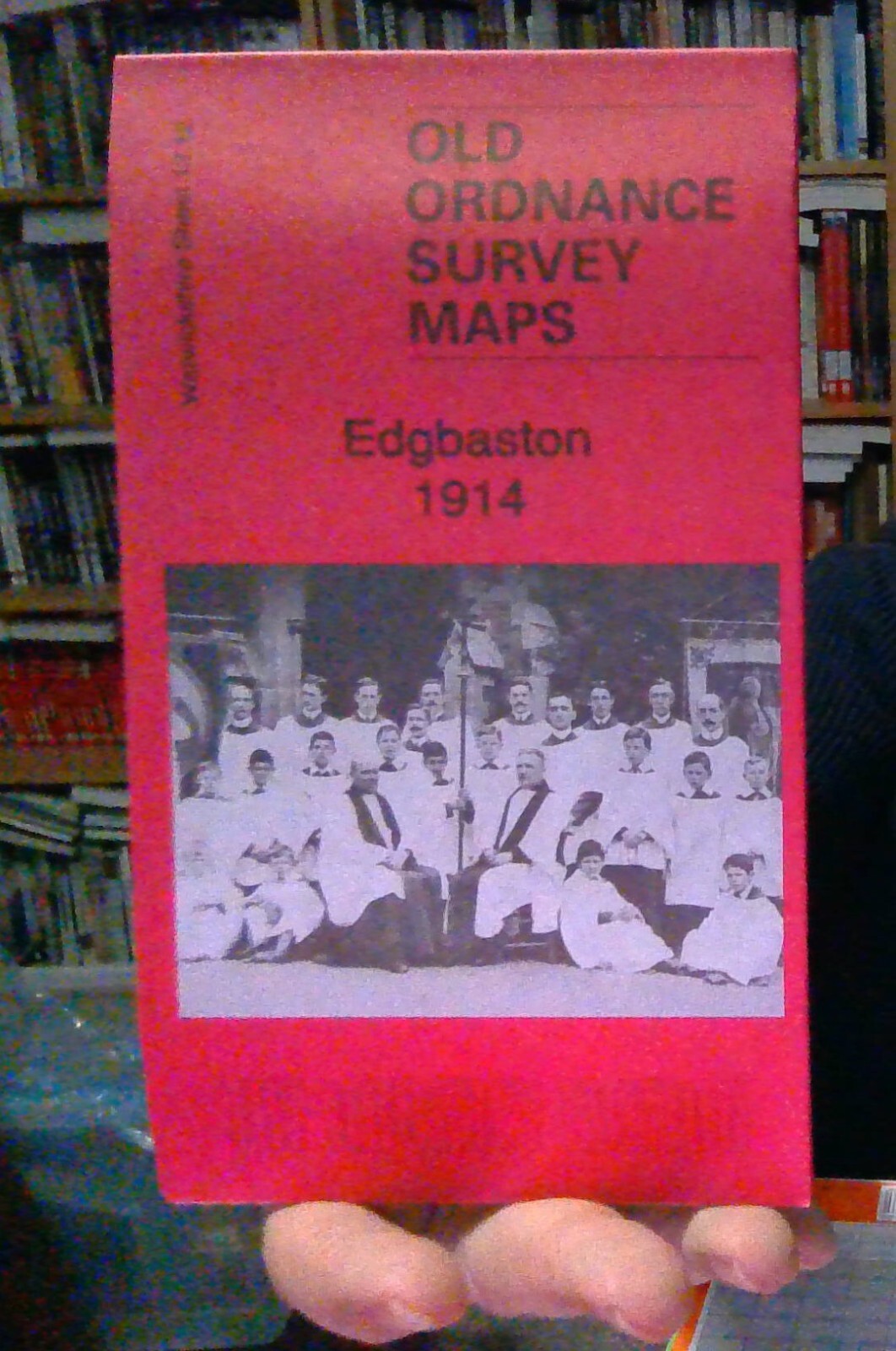
MAP OF Edgbaston 1914 Warwickshire Sheet 13.12c Barrie Trinder NEW 9781787212541
ere are the details of maps for Edgbaston:\n\nWarwicks 13.12a Edgbaston 1887 - published 2012; intro by Malcolm Nixon. ISBN.978-1-84784-600-6 Warwicks 13.12b Edgbaston 1901 - published 2000; intro by Richard Abbott. ISBN.978-1-84151-213-6 Warwicks 13.12c Edgbaston 1914 - published 2019; intro by Barrie Trinder. ISBN.978-1-78721-254-1 We have published three versions of this map, showing how the area changed across the years.\nThis detailed map covers much of Edgbaston, with coverage stretching from Norfolk Road eastward to Elvetham Road, and from Five Ways station southward to Somerset Road. The eastern part of Harborne is also shown, as is the Calthorpe Fields area.\nFeatures include Edgbaston Park, Edgbaston Hall, Midland Railway West Suburban Branch with Somerset Road, Church Road and Five Ways stations, Cottesmore Priory, Hallfield, St James church, General Institution for the Blind, Royal Institution for Deaf & Dumb Children, Mariemont, Worcester & B.
Compare prices (1 shop)
| shop | Price | Action |
|---|---|---|

|
3,45 GBP | Go to shop |