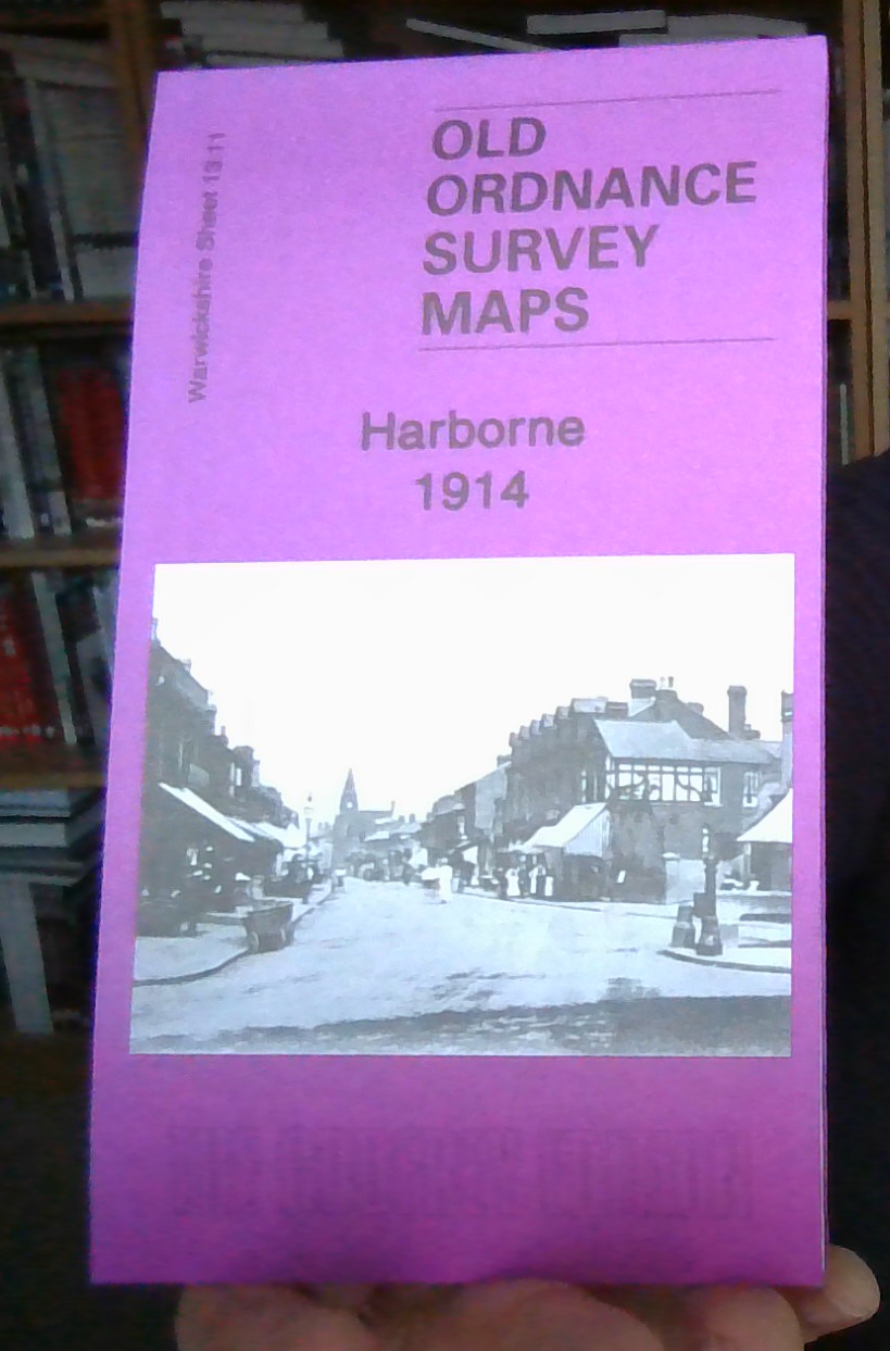
MAP OF Harborne 1914: Warwickshire Sheet 13.11b Barrie Trinder NEW 9781787212589
Here are the details of maps for Harborne:\n\nWarwicks Sheet 13.11a Harborne 1901 - published 1989; intro by Terry Slater. ISBN.978-0-85054-233-2 Warwicks Sheet 13.11b Harborne 1914 - published 2017; intro by Barrie Trinder. ISBN.978-1-78721-258-9 Warwicks Sheet 13.11c Harborne 1938 - published 2017; intro by Alan Godfrey. ISBN.978-1-78721-044-8 We have published three versions of this map, showing how the area changed across the years. They cover the Harborne area of south Birmingham, including a small portion of Edgbaston. Coverage stretches from Beech Lane eastward to York Street and St John's church, and from Woodbourne Road southward to Greenfield Road. Though we have used the Warwickshire sheet number, the map also covers Staffordshire sheet 72.11 and Worcestershire sheet 5.11.\nFeatures include Lordswood House, Oaklands, Queen's Park, Tally Ho Club Ground, St Joseph's House, Beech Lanes Farm, Chad Valley Works, Harborne railway branch with terminus, part of West.
Compare prices (1 shop)
| shop | Price | Action |
|---|---|---|

|
3,45 GBP | Go to shop |