
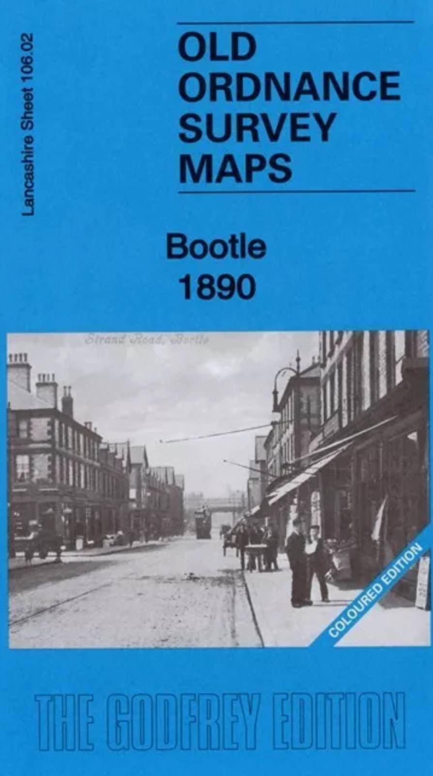
MAP OF Anfield 1890 (Coloured Edition) Lancashire Sheet 106.07 NEW 9781787213524
Here are the details of maps for Anfield:\n\nLancashire 106.07a Anfield 1890 - published 2020; intro by Kay Parrott. ISBN.978-1-78721-352-4 Lancashire 106.07b Anfield 1908 - published 1994; intro by Naomi Evetts. ISBN.978-0-85054-672-9 We have published two versons of this detailed map, showing how the area developed across the years. The 1890 map is fully coloured, taken from the beautiful 1st edition OS handcoloured map.\nThe maps cover the Anfield area on the north side of Liverpool, with coverage stretching from Liverpool football ground eastward to Lisburn Lane, and from New Hall Lane southward to Esmond Street. Features include tramways, many streets of terraced houses, Belmont Road Workhouse, Liverpool football ground, part of Stanley Park, south part of Liverpool Cemetery, Holy Trinity church, fever hospital, Advent Church, Hydraulic Engineering Works, Clubmoor, Tue Brook, St John the Baptist church, Tue Brook House, Lisburn Farm etc.\nEach map includes extrac.
Compare prices (1 shop)
| shop | Price | Action |
|---|---|---|
|
|
4,95 GBP | Go to shop |
Similar products
-
-
-
Kirkdale 1890 : Lancashire Sheet 106.06 Coloured Edition
From 5,00 EUR -

-

-
