
MAP OF Central Newcastle 1914 Tyneside Sheet 11 NEW 9780907554806
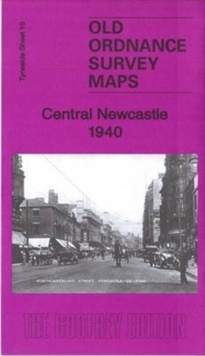
Here are the details of maps for Central Newcastle:\n\nTyneside Sheet 11a Central Newcastle 1894 - published 1983; 2nd Edition 1989; 3rd Edition 2024; intro by Anthea Lang. ISBN.978-1-78721-728-7 Tyneside Sheet 11b Central Newcastle 1914 - published 1984; 2nd Edition 2001; intro by John Griffiths. ISBN.978-0-907554-80-6 Tyneside Sheet 11c Central Newcastle 1940 - published 2016; intro by Anthea Lang. ISBN.978-1-84784-995-3 We have published three versions of this map to show how the area changed across the years. The maps cover a very busy area, stretching from Clayton Road in the north to Corporation Street in the south, eastwards to Sandyford Road and Portland Road, and westward to Darnell Street.\nFeatures on the map include Her Majesty's Prison, Natural History Museum, Artillery Barracks, Brandling Park, Eldon Square, Hay Market, Durham College of Science, St Thomas the Martyr's Church, NER railway line and Manors Station and Portland Park. On the reverse of each m.
Compare prices (2 shops)
| shop | Price | Action |
|---|---|---|
|
|
3,45 GBP | Go to shop |
|
|
3,45 GBP | Go to shop |
Similar products
-

-
Central Newcastle 1940 : Tyneside Sheet 11.3
From 3,75 EUR -

-

MAP OF Jesmond 1914: Tyneside Sheet 4 Donald, Jimmy NEW
From 4,50 EUR -

-
