
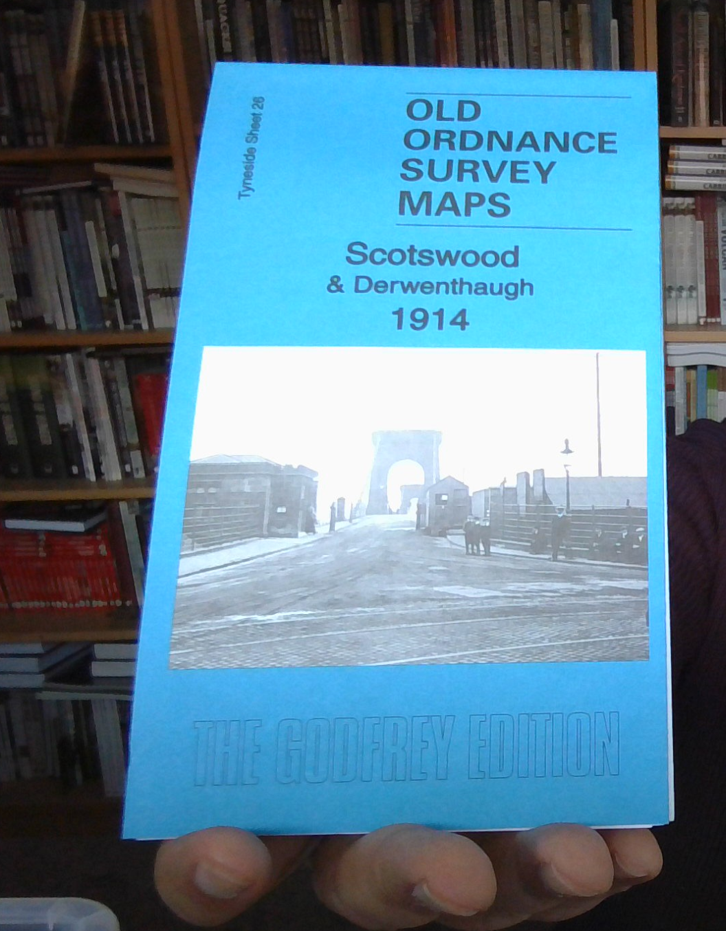
MAP OF Felling 1914: Tyneside Sheet 24B by Anthea Lang NEW
Here are the details of maps for Felling:\n\nTyneside Sheet 24a Felling 1894 - published 1982, 2nd ed 1989, 3rd ed 2023; intro by Anthea Lang. ISBN.978-1-78721-664-8 Tyneside Sheet 24b Felling 1914 - published 2015; intro by Anthea Lang. ISBN.978-1-84784-875-8 We have published two versions of this map, showing how the area changed across the years.\nFeatures include Felling town centre, with individual buildings neatly shown; railway with Felling station, Felling Colliery John Pit, Low Felling, High Felling, Northern Machine Tool Works with railway connection, Crowhall Quarry, Felling Shore Brickworks, tramways, Christ Church, St Patrick's RC church, disused Felling and Carr Hill quarries, Carr Hill area, Deckham Place, Jubilee Children's Hospital, Mount Pleasant, cemetery, Victoria Square etc.\nThe map links up with Tyneside Sheet 23 Gateshead South to the west, Tyneside Sheet 19 Gateshead East to the north, Durham Sheet 07.05 Gateshead Fell to the south and Durham Sheet .
Compare prices (1 shop)
| shop | Price | Action |
|---|---|---|
|
|
3,45 GBP | Go to shop |
Similar products
-

-
-
-
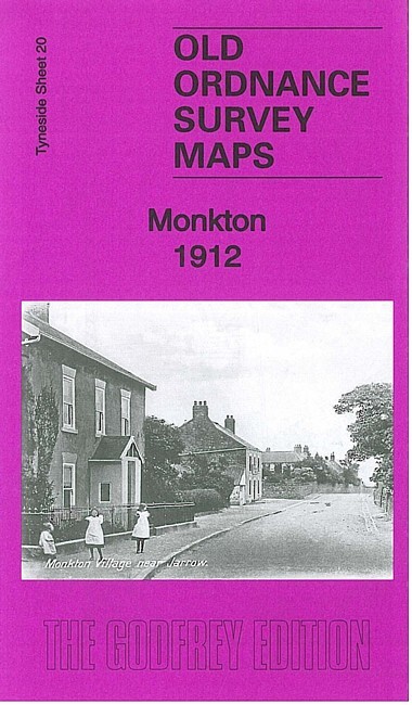
Monkton 1912 Tyneside Sheet 20 by Anthea Lang
From 3,75 EUR -

-

Longbenton 1913 Tyneside Sheet 31 by Anthea Lang
From 3,75 EUR