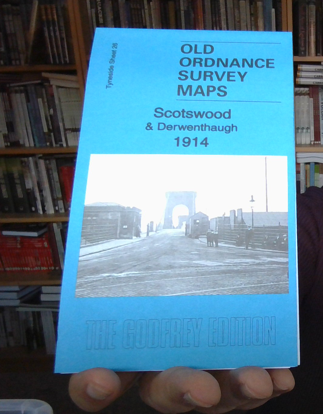
MAP OF Scotswood & Derwenthaugh 1914: Tyneside Sheet 26b by Anthea Lang NEW
Here are the details of maps for Scotswood & Derwenthaugh:\nTyneside 26a Scotswood & Derwenthaugh 1895 - published 1996, 3rd edition 2009; intro by Roy Young. ISBN.978-0-85054-816-7 Tyneside 26b Scotswood & Derwenthaugh 1914 - published 2018; intro by Anthea Lang. ISBN.978-1-78721-130-8 Tyneside 26c Scotswood & Derwenthaugh 1914 - published 2019; intro by Alan Godfrey. ISBN.978-1-78721-230-5 We have published three versions of this map, showing how the area changed across the years. Each covers Scotswood, Delaval, Blaydon Haughs, and Derwent Haugh. Coverage stretches from Blaydon Haughs eastward to Delaval and Derwenthaugh.\nFeatures include River Derwent, Blaydon Main Staith, section of Garesfield & Chopwell Railway, section of NER Low Swalwell Branch, NER Redheugh Branch, NER Consett Branch, NER Newcastle & Carlisle line, Blaydon Main Wagonway with Blaydon Main Colliery, Blaydon Haughs with riverside works, Scotswood Bridge, Scotswood House, D.
Compare prices (1 shop)
| shop | Price | Action |
|---|---|---|
|
|
3,45 GBP | Go to shop |