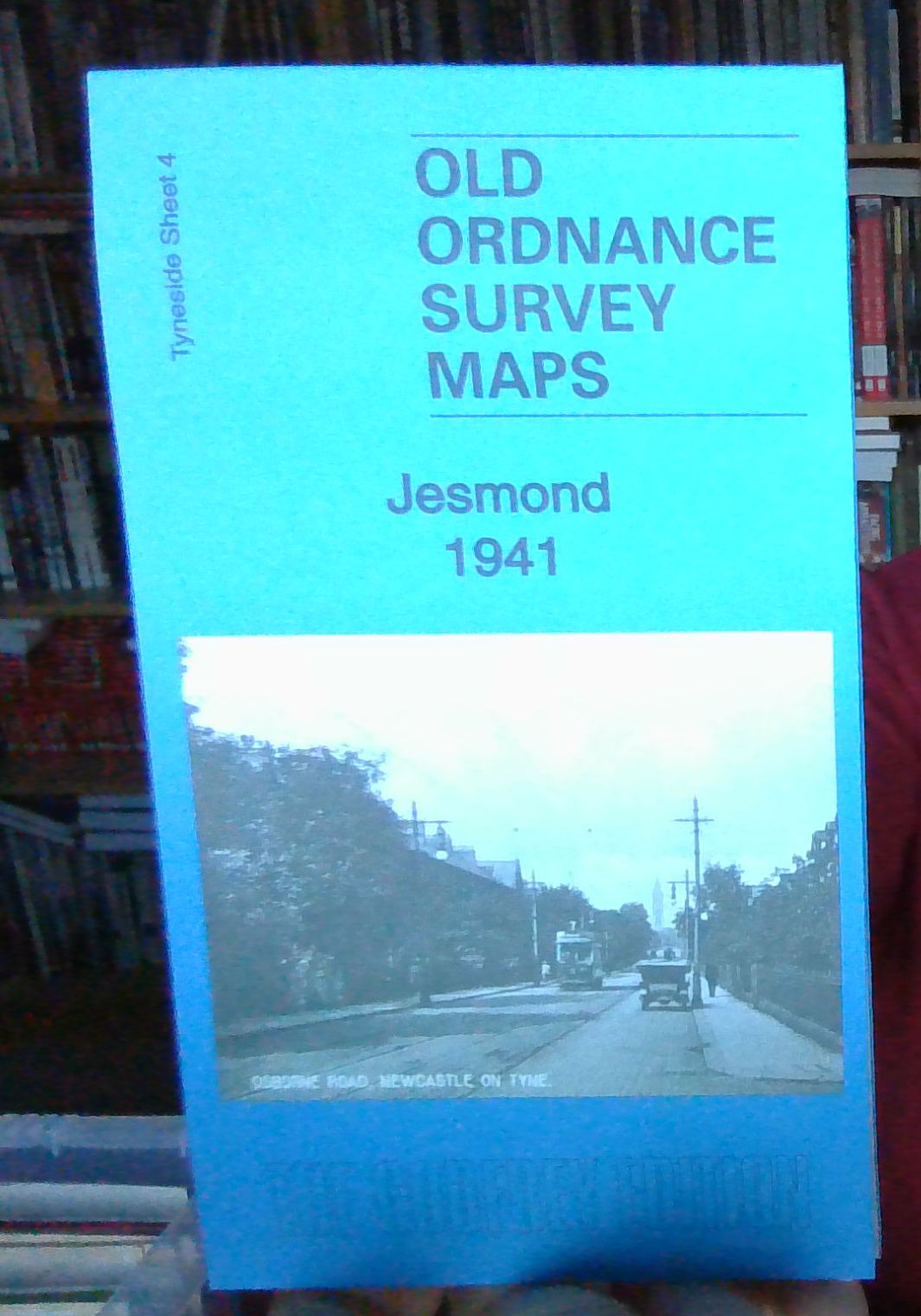
MAP OF Jesmond 1941: Tyneside 4c by Anthea Lang (Sheet map, 2018) NEW
Here are the details of maps for Jesmond:\n\nTyneside 4a Jesmond 1895 - published 1982, 2nd Edition 1987; intro by Jimmy Donald. ISBN.978-0-85054-162-5 Tyneside 4b Jesmond 1913 - published 1985, 2nd Edition 2014; intro by Alan Godfrey. ISBN.978-1-84784-857-4 Tyneside 4c Jesmond 1941 - published 2018; intro by Anthea Lang. ISBN.978-1-84784-149-0 We have published three versions of this map, showing how the area changed across the years. Coverage stretches from Burdon Terrace northward to Lodore Road.\nFeatures include West Jesmond area with West Jesmond station (1914 map), Fleming Memorial Hospital, Northern Counties Orphanage, Northern Counties Deaf & Dumb Institution, St Andrew's cemetery, St Hilda's church, tramways, St George's church, Jesmond Towers, Jesmond Dene House, Jesmond Dean, Town Moor, smallpox hospital, Kenton Lodge, Dukes Moor, etc.\nThe map links up with Tyneside Sheet 30 Gosforth to the north, Tyneside Sheet 5 High Heaton to the east, Tyneside Shee.
Compare prices (1 shop)
| shop | Price | Action |
|---|---|---|
|
|
3,45 GBP | Go to shop |
Similar products
-

-
-

MAP OF Jesmond 1914: Tyneside Sheet 4 Donald, Jimmy NEW
From 4,50 EUR -

-

-
